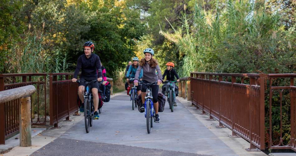
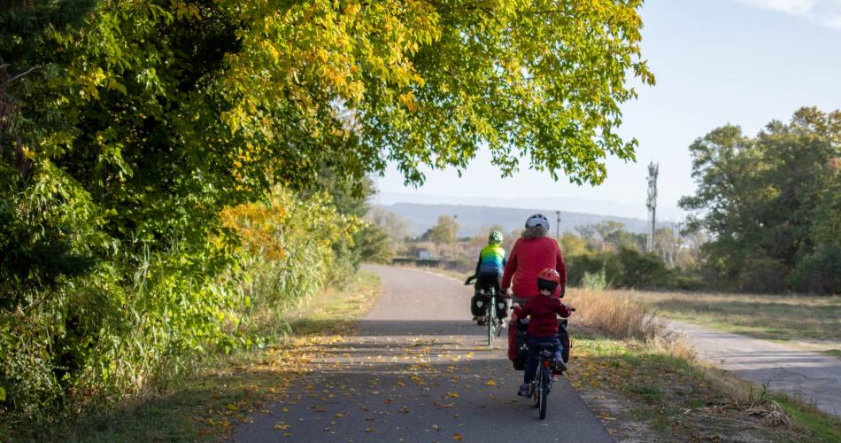
The Mediterranean by bike : Cavaillon > Apt- N°1
Route
Crossing
Difficulty
Easy
Duration
2h
Distance
44.94km
Positive elevation
375 meters
Negative elevation
152 meters
Altitude
Min. 66 meters
Max. 299 meters
- circuit
- variante
- voie verte
- liaison
Departure / Arrival
Cavaillon / Saint Martin de Castillon
Parking
Saint Martin de Castillon
Elevation
Downloads
EV8 - carte tronçon 05 - Beaucaire-Tarascon-Cavaillon-Apt
GPX track
The tourist service at Cavaillon :
The Mediterranean by bike from Cavaillon to Apt
Véloroute (designated cycling route) from the Calavon in Robion to Apt (37 km). Turns towards recreational areas and service hubs from the 'voie verte' are well marked, as are the Luberon bike routes.
The road surface on this part of the route is flat.
The road surface on this part of the route is flat.
Accéder à l'itinéraire
public transport
By bus :Line 915 Avignon TGV - Cavaillon - Apt - St-Martin-de-Castillon - Forcalquier (Le Ptit Jas stop - bicycles can be transported (See the tutorial)Line 917 or 918 Cavaillon - Apt (La Bouquerie stop)
recommended
parking(s)
Place François Tourel - Cavaillon
road access
A7 - D2 heading in the direction of Cavaillon, then D900 (exN100) towards Apt.A51 – Pertuis, Manosque or la Brillanne, then D4100.
To be noted
 If you notice a problem on one of the Provence cycling routes report it with the Suricate app!: sentinelles.sportsdenature.fr
Access to the massifs
Respect the regulations preserving protected natural areas – find out about restrictions to accessing the massifs during fire risk periods, from 15 June to 15 September.
Before heading out, check the website
Respect the regulations preserving protected natural areas – find out about restrictions to accessing the massifs during fire risk periods, from 15 June to 15 September.
Before heading out, check the website
In short
- From the stone and ochre villages, to the fields of olive trees, lavender and vineyards
- Panoramic views
- Natural paths in the heart of the massif
- Vineyards and olive groves
- Numerous hilltop villages
Contact
Vélo Loisir ProvenceE-Mail : info@lamediterraneeavelo.com
Website : http://www.lamediterraneeavelo.com/
Facebook : https://www.facebook.com/lamediterraneeavelo/


