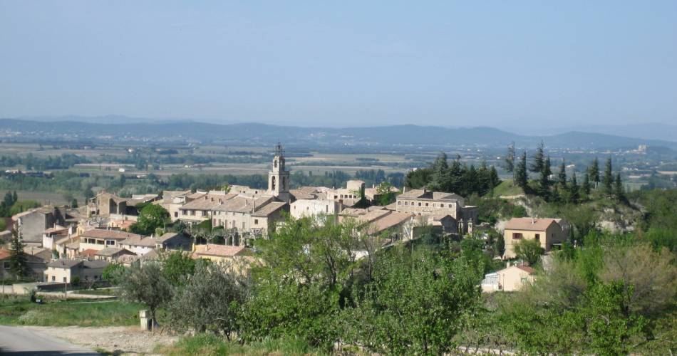
Cycling Itinerary - Tour of the Popes Enclave by bike
28
Route
Loop
Difficulty
Intermediary
Duration
4h
Distance
41.38km
Positive elevation
552 meters
Negative elevation
552 meters
Altitude
Min. 136 meters
Max. 428 meters
- circuit
- variante
- voie verte
- liaison
Departure / Arrival
Valréas / Valréas
Parking
Valréas
Elevation
Downloads
GPX track
The tourist service at Valréas :
Calling all lovers of varied landscapes - this route is for you! Follow the signposts which mark out the route through live oak forests, vineyards, and lavender fields. 36 km. Caution: steep hills and big drops. Not suitable for small children.
Departure from the Tourist Office – Valréas
Turn left and left again at the following 2 roundabouts. At the end of the avenue, at the roundabout with an olive tree, go towards Vinsobres on the left. After the stop, take the D46 towards Vinsobres. The road goes
steeply uphill with hairpin bends for 4 km winding through vineyards, truffle oaks and fruit orchards. At the Sainte Croix crossroads, in the bend, turn right
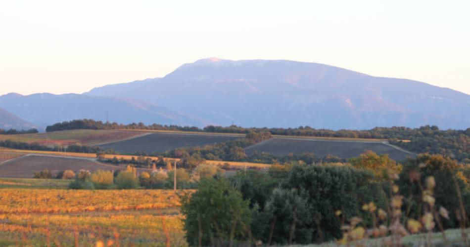
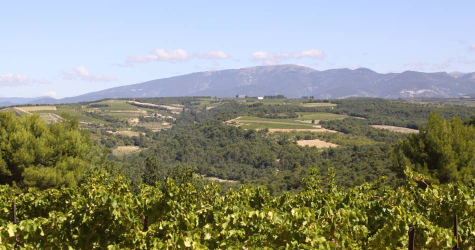
towards Visan (Beautiful cross to be seen). The minor road follows the crest of the hill for 5.3 km and there are lovely views on your left of the Plateau de Vinsobres and the Baronnies hills, the Mont Ventoux and the
Dentelles de Montmirail (occasionally on the right you can catch a glimpse of Valréas in the distance through the trees).
1. After a steep downhill section crossing the D191 at les Françons, turn left towards quartier Poulidon. At the bridge, turn right towards Visan and go on
the steep, winding road uphill for 1.7 km. You will come to a crossroads (called La Carne) where you must turn right towards Visan. Have a look at the wonderful field of olive trees on the side and admire 360° panoramic views. Then enjoy the long downhill run to Visan (3.5 km).
2. In Visan, at the crossroads facing the pharmacy, turn right and then at the roundabout turn left onto the D20 towards Richerenches (7km). The "Montagne de la Lance" is visible on the horizon on your right hand side. Go through the village of Richerenches.
3. As you leave the village, take a left turn towards Montségur sur Lauzon. The road is surrounded by fields of lavender and aromatic herbs. Just before the bridge over the stream, the Aulière, turn right towards Grillon.
4. Keep going straight along the road (no turnings) up to the junction with the
D20.
5. Turn left, then in a big bend, turn left towards Grillon. In the “Place de la Bourgade”, where the church is, take the road towards Valréas and leave the village. Pass the guesthouse “Au Vieux Chêne”, and before the roundabout in the bend, continue straight on along the old road (so that you can avoid the main road which has lots of traffic). However don't forget to watch out for traffic on the old road.
6. At the “Stop” sign, go straight on to get back to Valréas. When you get to the town, follow the Cours de Gaulle which goes up to your right and goes along to le Cours Jean Jaurès where this itinerary ends.
Accéder à l'itinéraire
public transport
Consult the Zou bus lines: Line 903 Orange - Valréas (Stop: Lycée et Ecole St Dominique)
recommended
parking(s)
Marie Vierge Street (behind the cemetery)
road access
From Grignon, take the D541 towards Valréas.
From Orange, take the D976 towards Sainte Cécile les Vignes, then the D576 towards Valréas.
From Vaison la Romaine, head to Vinsobres, then Valréas.
From Orange, take the D976 towards Sainte Cécile les Vignes, then the D576 towards Valréas.
From Vaison la Romaine, head to Vinsobres, then Valréas.
To be noted
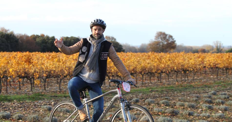
- This route is best suited to autumn, when the vineyard is filled with shimmering colours, or on Saturdays from November to February, when you can enjoy the world-renowned Richerenches truffle market, and why not take a break to enjoy a gourmet treat there at noon!
- Avoid days when the mistral is strong. There can be strong winds on the return to Valréas.
 If you notice a problem on one of the Provence cycling routes report it with the Suricate app!: sentinelles.sportsdenature.fr
Access to the massifs
Respect the regulations preserving protected natural areas – find out about restrictions to accessing the massifs during fire risk periods, from 15 June to 15 September.
Before heading out, check the website
Respect the regulations preserving protected natural areas – find out about restrictions to accessing the massifs during fire risk periods, from 15 June to 15 September.
Before heading out, check the website
In short
- After a nice winding hillside path on the way out of Valréas, the course offers superb views of the Côtes du Rhône vineyards.
- Before Visan comes a pleasant descent between vines and truffle oaks, with a lovely view of the village Belfry. The route continues to be flat as you discover.
- Richerenches, former Templar preceptory, and Grillon.
Contact
Office de Tourisme Pays de Grignan - Enclave des PapesE-Mail : info@grignanvalreas-tourisme.com
Website : http://www.grignanvalreas-tourisme.com
Facebook : http://www.facebook.com/ot.paysdegrignanenclavedespapes/
