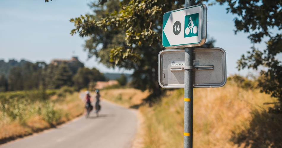
14 - The Pays d'Aigues by bike
14
Route
Double Sense Buckle
Difficulty
Intermediary
Duration
7h
Distance
85.44km
Positive elevation
1095 meters
Negative elevation
1 meters
Altitude
Min. 155 meters
Max. 519 meters
- circuit
- variante
- voie verte
- liaison
Departure / Arrival
Pertuis - office de tourisme / Pertuis - office de tourisme
Parking
Pertuis - office de tourisme
Elevation
Downloads
Dépliant Pays d'Aigues à vélo 2024
GPX track
The tourist service at Cadenet :
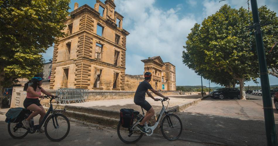
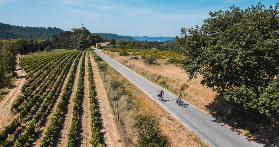
Gentle and fresh, this route winds through the foothills of the Luberon mountain range to the Durance. The route is scattered with medieval villages where you can enjoy the shade of one-hundred-year-old plane trees, and take the 'Route des Châteaux du Sud Luberon'.
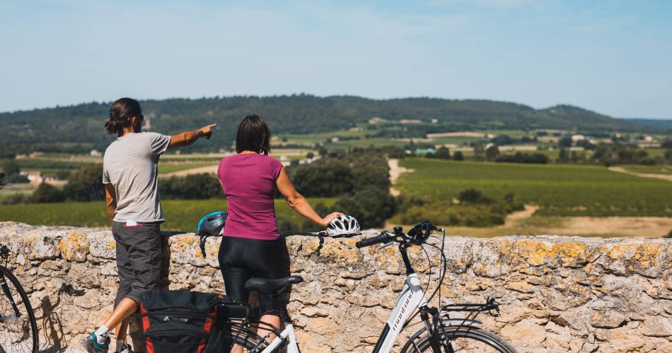
What could be more wonderful than travelling through our landscapes on your bike? Whether you're lovers of spring mornings and their crystal-clear sounds, the smell of cherries or flowering almond trees, or the splendid brooms smelling of honey... Maybe a summer trip through the green vineyards in the warmth of the setting sun, or a visit when it starts to get cold accompanied by the reddening colours of the beginning of autumn? Each outing, whatever the season, will be an amazing and magical discovery. The villages nestled deep in our magnificent Luberon, or perched on hilltops like lighthouses, will force you to stop and take in the truly unforgettable beauty of your surroundings. These villages will welcome you for a refreshing and relaxing stop in their shady squares, near to their fountains. Follow our little picturesque and serene roads, let yourself be utterly charmed - it is a real delight! Bike route created by Luberon Natural Regional Park. Information at 'Vélo Loisir Provence' www.leluberonavelo.com
Accéder à l'itinéraire
public transport
- Train: Avignon TGV station, then link to Cavaillon TER station then, bus: Route 908 Cavaillon - Pertuis (La Dévalade stop)
- OrMarseille St Charles TGV train station / Aix en Provence TGV train station then connection via TER Manosque, La Brillanne and Meyrargues (Bus to Pertuis)
recommended
parking(s)
La Dévalade car park - Pertuis
road access
A7 - Cavaillon ExitA51 - Pertuis, Manosque or La Brillanne Exit
To be noted
The itineraries use roads open to all motorized vehicles, but with low traffic. Respect the highway code.
 If you notice a problem on one of the Provence cycling routes report it with the Suricate app!: sentinelles.sportsdenature.fr
Access to the massifs
Respect the regulations preserving protected natural areas – find out about restrictions to accessing the massifs during fire risk periods, from 15 June to 15 September.
Before heading out, check the website
Respect the regulations preserving protected natural areas – find out about restrictions to accessing the massifs during fire risk periods, from 15 June to 15 September.
Before heading out, check the website
In short
- A loop in the south Luberon between vines and castles!
- Under the shade of centuries-old plane trees
- Discover the medieval villages between the Luberon and the Durance
Downloads
Contact
Vélo Loisir ProvenceE-Mail : info@veloloisirprovence.com
Website : https://www.veloloisirprovence.com
Facebook : https://www.facebook.com/veloloisirprovence/


