MTB n°44 - Grande Combe
44
Route
Difficulty
Difficult
Duration
2h
Distance
17.55km
Positive elevation
561 meters
Negative elevation
560 meters
Altitude
Min. 164 meters
Max. 620 meters
Departure / Arrival
Parking de la Mairie - Cabrières d'Avignon / Parking de la Mairie - Cabrières d'Avignon
Parking
Parking de la Mairie - Cabrières d'Avignon
Elevation
GPX track
1 / 2
The tourist service at Cabrières-d'Avignon :
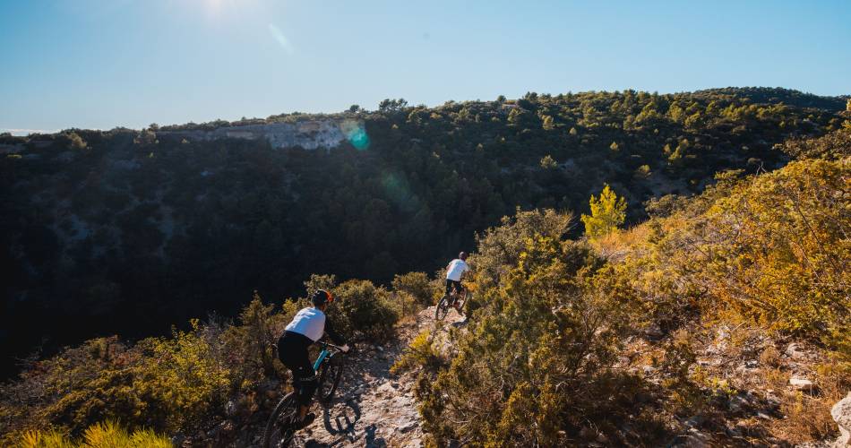
A long climb up onto the ridges of Pouraques, followed by a mythical descent in single file in the heart of unspoilt nature.Accéder à l'itinéraire
public transport
Consult the Zou bus network https://services-zou.maregionsud.fr
recommended
parking(s)
Town hall car park - Cabrières d'Avignon
To be noted
Be careful during the descent, you will encouter riders following the route in the opposite direction (Grande Traversée de Vaucluse)
Check your equipment before departure
The day before your trip, check access to the massif in case of fire risk
https://www.risque-prevention-incendie.fr/vaucluse/
T. +33)4.28.31.77.11
In case of fire, call 18 or 112
 If you notice a problem on one of the Provence cycling routes report it with the Suricate app!: sentinelles.sportsdenature.fr
Access to the massifs
Respect the regulations preserving protected natural areas – find out about restrictions to accessing the massifs during fire risk periods, from 15 June to 15 September.
Before heading out, check the website
Respect the regulations preserving protected natural areas – find out about restrictions to accessing the massifs during fire risk periods, from 15 June to 15 September.
Before heading out, check the website
In short
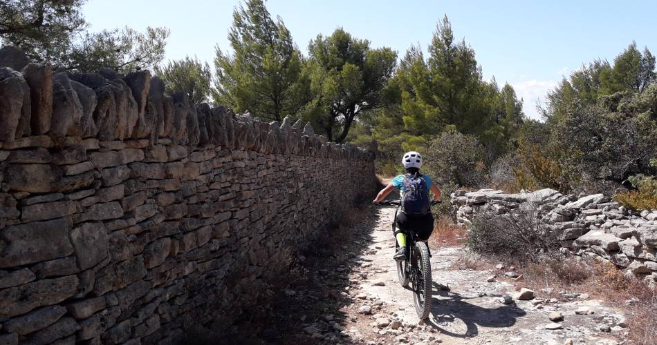
- A splendid loop all on singl-track trails at the heart of nature, and a descent of the Grande Combe
- Possible variant starting from the village of Lagnes and following circuit n°42 ''Autour du Mur de la Peste''.
Contact
Parc naturel régional du LuberonE-Mail : accueil@parcduluberon.fr
Website : https://www.visugpx.com/tUoyI8N4BB
Facebook : https://www.facebook.com/groups/931761307346545

