MTB no.26 - Between Grambois and Beaumont-de-Pertuis
26
Route
Difficulty
Difficult
Duration
3h
Distance
24.46km
Positive elevation
552 meters
Negative elevation
552 meters
Altitude
Min. 306 meters
Max. 534 meters
- circuit
- variante
- voie verte
- liaison
Departure / Arrival
Parking du pont du Moulin du pas - Grambois / Parking du pont du Moulin du pas - Grambois
Parking
Parking du pont du Moulin du pas - Grambois
Elevation
GPX track
The tourist service at Grambois :
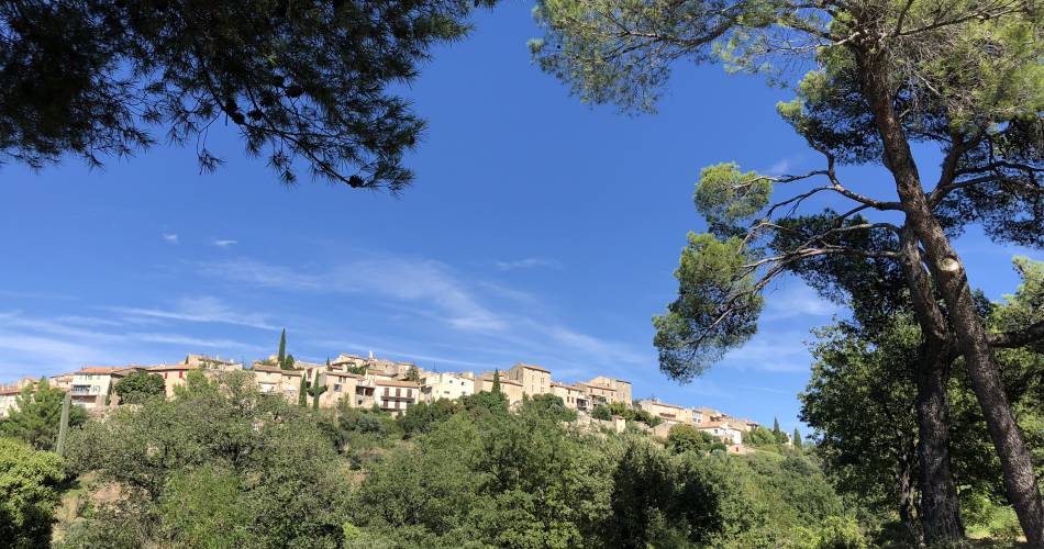
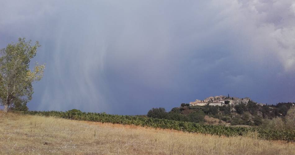
A pretty mountain bike route connecting two beautiful hilltop villages that are emblematic of South Luberon
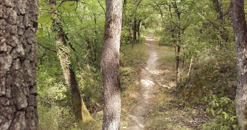
The difficulty lies more in the uphill climbs than in the technical passages, but the descent of the last 5 kilometres is pure pleasure…
Route variation: Departure from Grambois is also a great idea
Route variation: Departure from Grambois is also a great idea
Accéder à l'itinéraire
public transport
Consult the Zou bus network (In French)https://services-zou.maregionsud.fr
To be noted
 If you notice a problem on one of the Provence cycling routes report it with the Suricate app!: sentinelles.sportsdenature.fr
Access to the massifs
Respect the regulations preserving protected natural areas – find out about restrictions to accessing the massifs during fire risk periods, from 15 June to 15 September.
Before heading out, check the website
Respect the regulations preserving protected natural areas – find out about restrictions to accessing the massifs during fire risk periods, from 15 June to 15 September.
Before heading out, check the website
In short
From Grambois to Beaumont de Pertuis, this technical route with beautiful views is composed of technical ascents and a 5 km downhill profile.Contact
Parc naturel régional du LuberonE-Mail : info@veloloisirprovence.com
Website : https://www.visugpx.com/0nIvPMStT6
Facebook : https://www.facebook.com/groups/931761307346545


