
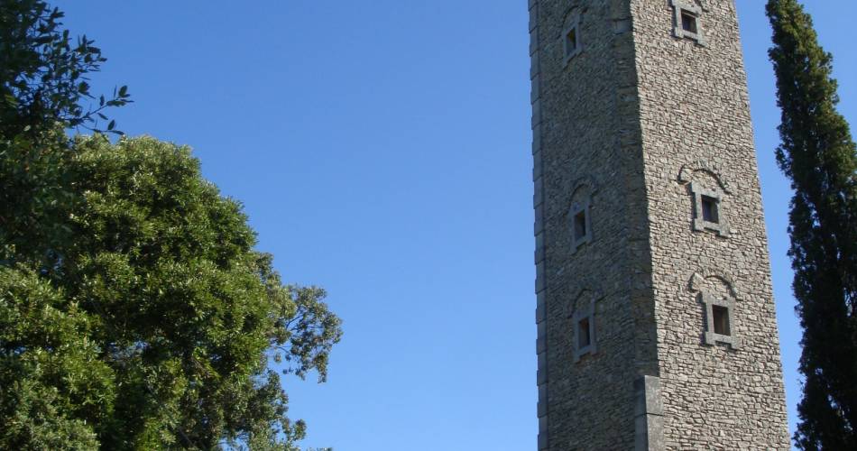
MTB no.35 - Cedar forest and Philippe Tower
35
Route
Loop
Difficulty
Very difficult
Duration
3h
Distance
23.03km
Positive elevation
815 meters
Negative elevation
816 meters
Altitude
Min. 247 meters
Max. 708 meters
Departure / Arrival
Parking de Valbigonce - Lauris / Parking de Valbigonce - Lauris
Parking
Parking de Valbigonce - Lauris
Elevation
GPX track
1 / 9
The tourist service at Lauris :
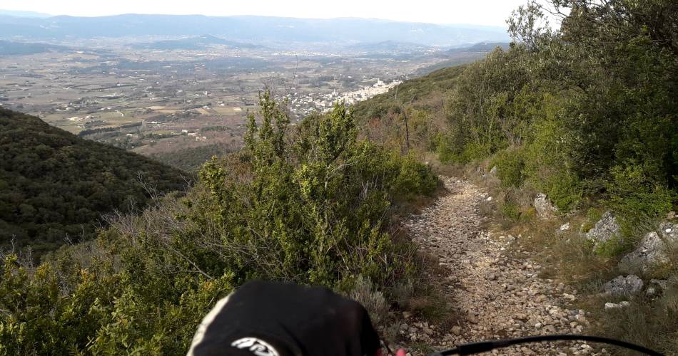
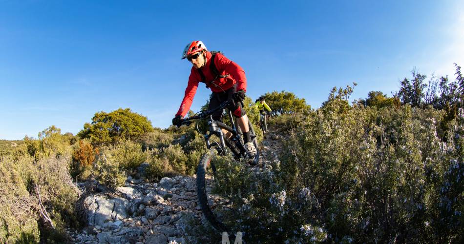
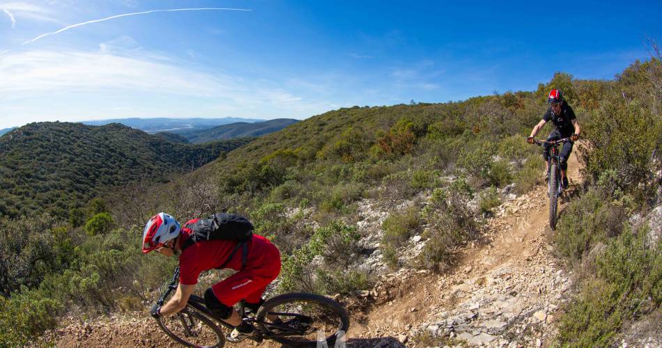
A beautiful trail that follows part of the Grande Traversée de Vaucluse à VTT. Travel across the northern and southern slopes of the Petit Luberon, between Lauris and Bonnieux, two magnificent villages which are emblematic of the territory.Accéder à l'itinéraire
public transport
Consult the Zou bus lines (In French)https://services-zou.maregionsud.fr
recommended
parking(s)
Valbigonce Parking - Lauris
To be noted
Warning!
Presence of livestock guardian dogs in spring on the peaks.
Control your downhill speed, you are not the only one on these paths.
Presence of livestock guardian dogs in spring on the peaks.
Control your downhill speed, you are not the only one on these paths.
 If you notice a problem on one of the Provence cycling routes report it with the Suricate app!: sentinelles.sportsdenature.fr
Access to the massifs
Respect the regulations preserving protected natural areas – find out about restrictions to accessing the massifs during fire risk periods, from 15 June to 15 September.
Before heading out, check the website
Respect the regulations preserving protected natural areas – find out about restrictions to accessing the massifs during fire risk periods, from 15 June to 15 September.
Before heading out, check the website
In short
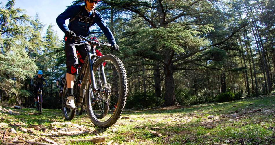
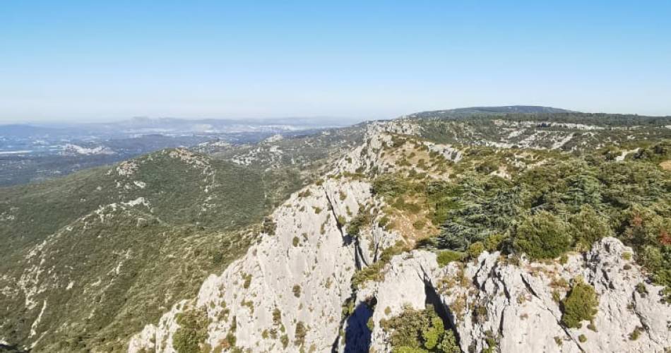
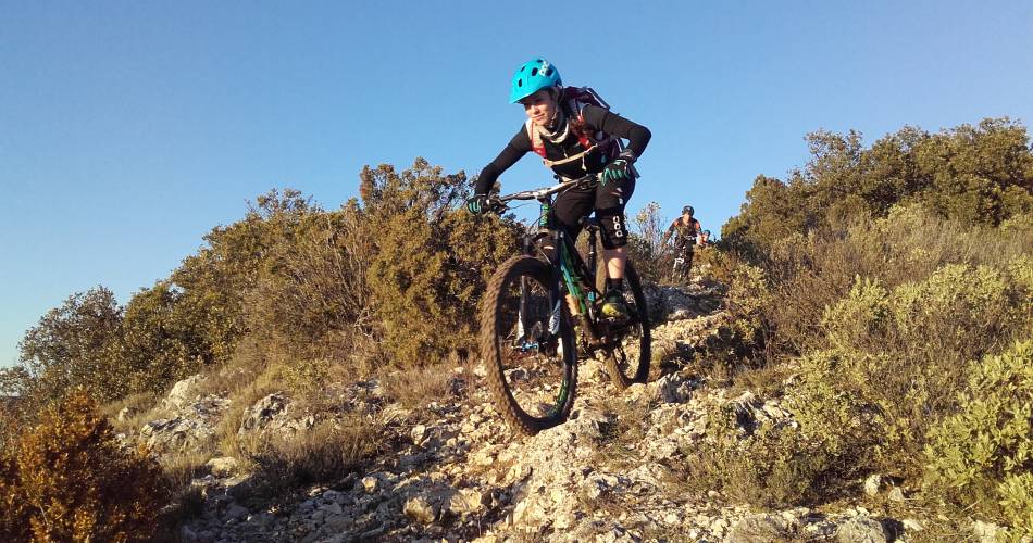
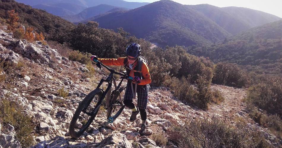
Between Lauris and Bonnieux, 2 picturesque villages of the Luberon, here is a course whose climbs and descents can be steep, stony or technical (push at km 5.5).The breathtaking views from the Portalas, Peyrafio, and the Cedars Forest makes all of the effort worth it! Possible departure from Bonnieux.Contact
Parc naturel régional du LuberonE-Mail : info@veloloisirprovence.com
Website : https://www.visugpx.com/VZf3IlMW4n
Facebook : https://www.facebook.com/groups/931761307346545