
MTB no.58 - Grand Luberon Peaks
58
Route
Loop
Difficulty
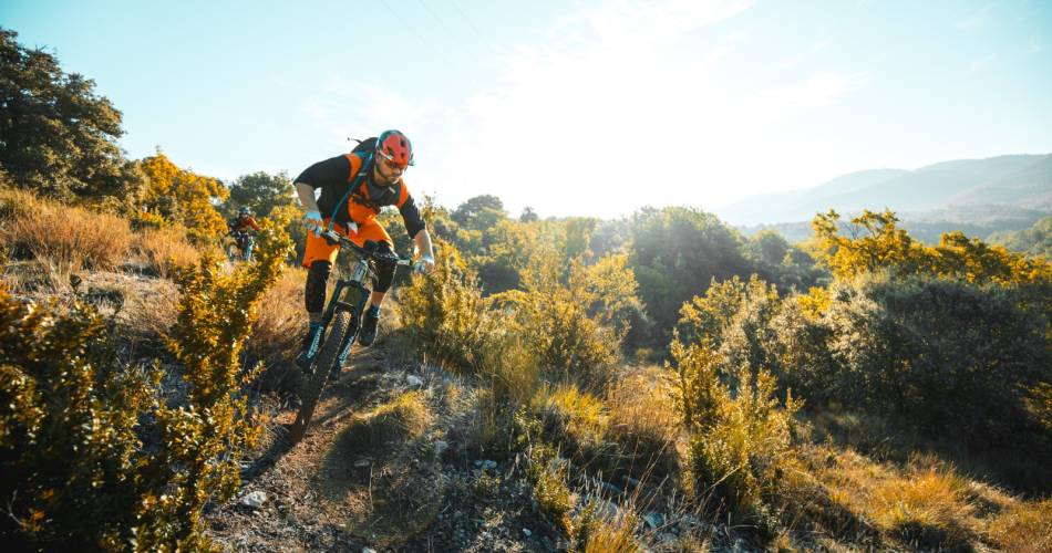
Difficult
Duration
3h
Distance
22.68km
Positive elevation
751 meters
Negative elevation
751 meters
Altitude
Min. 469 meters
Max. 988 meters
Departure / Arrival
Parking du Pasquier - Saignon / Pasquier Parking - Saignon
Parking
Pasquier Parking - Saignon
Elevation
GPX track
1 / 8
The tourist service at Saignon :
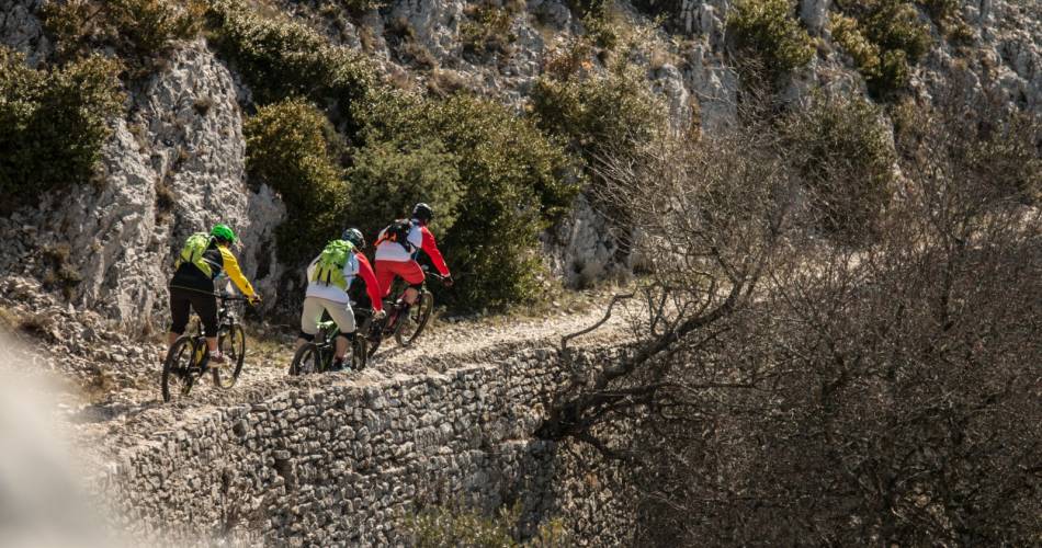
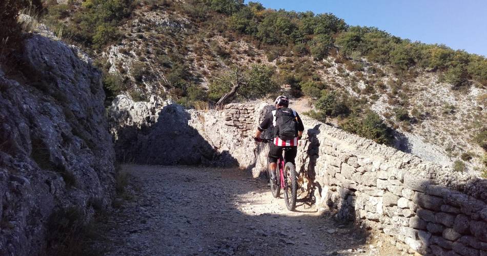
A physically demanding mountain bike route that could easily have been classed as "Very Difficult", but which requires less technical knowledge than the other “Black” level circuits.Accéder à l'itinéraire
public transport
recommended
parking(s)
Pasquier Parking - Saignon
To be noted
Attention:
• Presence of livestock guardian dogs in the spring at Aiguebrun, and all year round at the Plateau des Claparèdes
• Control your downhill speed; you are not alone on these paths!
 If you notice a problem on one of the Provence cycling routes report it with the Suricate app!: sentinelles.sportsdenature.fr
Access to the massifs
Respect the regulations preserving protected natural areas – find out about restrictions to accessing the massifs during fire risk periods, from 15 June to 15 September.
Before heading out, check the website
Respect the regulations preserving protected natural areas – find out about restrictions to accessing the massifs during fire risk periods, from 15 June to 15 September.
Before heading out, check the website
In short
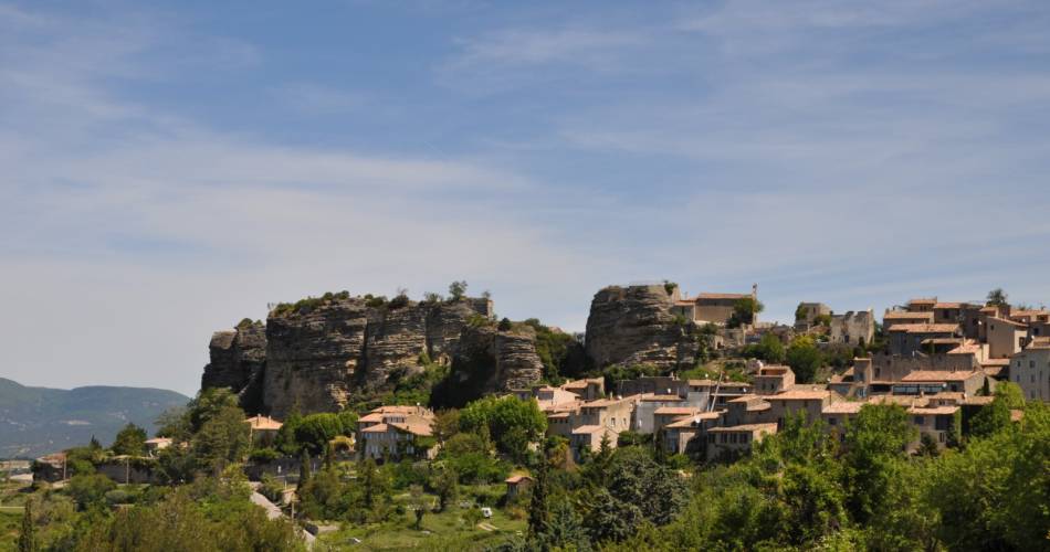
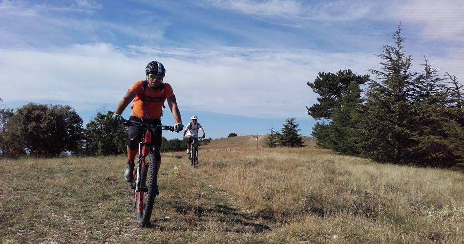
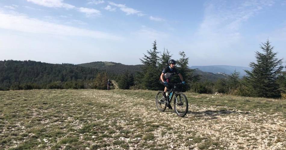
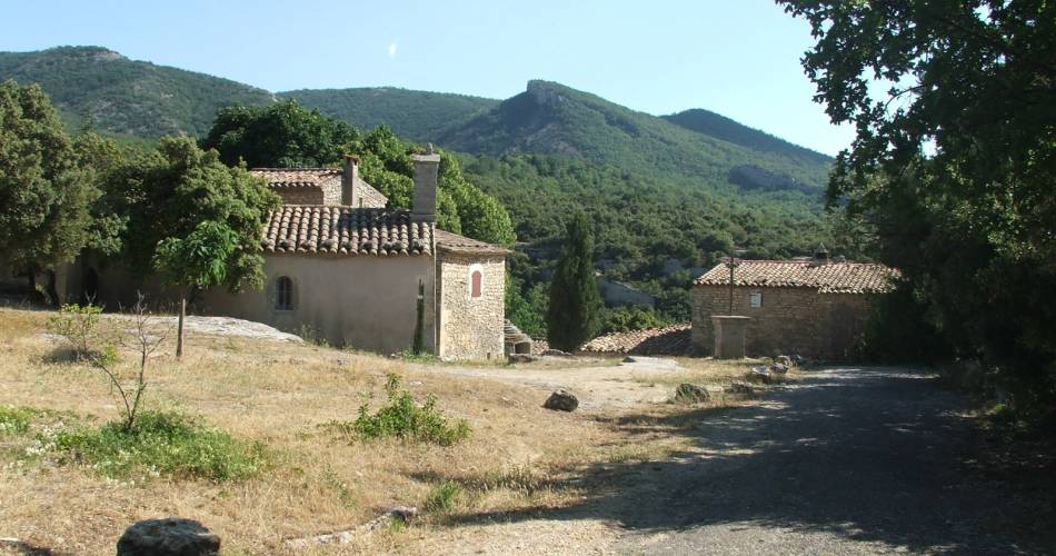
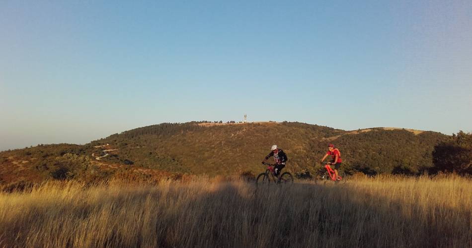
A route reserved for experienced mountain bikers- Picturesque hilltop villages in the Luberon
- Ancestral paths that reveal bories, and dry stone terraces
- Wild springs and valleys
- Lavender fields and panoramic views.
- Vast natural lawns at the top and tranquil goat herds
Contact
Parc naturel régional du LuberonE-Mail : info@veloloisirprovence.com
Website : https://www.visugpx.com/GpefWBcypI
Facebook : https://www.facebook.com/groups/931761307346545