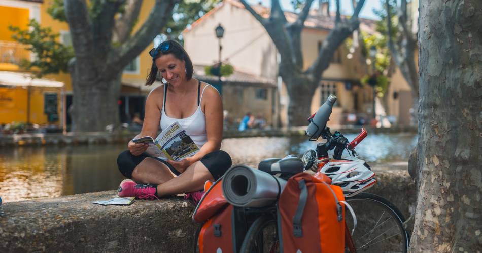
V863 - Around the Luberon by bike
V 863
Route
Double Sense Buckle
Difficulty
Difficult
Duration
72h
Distance
240.08km
Positive elevation
3647 meters
Negative elevation
3 meters
Altitude
Min. 72 meters
Max. 782 meters
- circuit
- variante
- voie verte
- liaison
Departure / Arrival
Cavaillon - Gare SNCF / Cavaillon - SNCF Gare SNCF
Parking
Cavaillon - SNCF Gare SNCF
Elevation
Downloads
Trace GPX - Autour du Luberon - Sens horaire
Dépliant Autour du Luberon 2024
Brochure le Luberon à vélo 2024
GPX track
The tourist service at Cavaillon :
Signposted in both directions, this route around the mountains of the Luberon and its Natural Regional Park is designed to let you gently discover the resources of this area of exceptional natural beauty.
Dare to wander! This route takes roads which have been selected for the beauty of their surroundings and the villages that you can stop at along the way.
Although these are quiet roads with little traffic, they are not designated cycle paths and therefore it is recommended that you take extra care when cycling here, particularly when with children. Please follow the rules of the road at all times.
The changing topography of the landscapes in Vaucluse can also mean there are some slightly more challenging hills. Steep gradients are usually short and can be walked of course.
During the hot summer months, take advantage of the shade along the way and on café terraces. Bon voyage!
Itinerary created by Luberon Natural Regional Park. Information: Vélo Loisir Provence www.leluberonavelo.com
Accéder à l'itinéraire
public transport
By train via Cavaillon stationBy bus :
- From Avignon, line Zou 907 (bus station stop)
- From Carpentras, line Zou 913 (bus station stop)
- From Aix-en-Provence via Pertuis, line Zou 923 (Stop: République) and 908 (bus station stop)
- From Arles, line Zou 704 (bus station stop)
recommended
parking(s)
Station car park
road access
A7 - D2 in the direction of Cavaillon then D900 (exN100) towards Apt
A51 – exit Pertuis, Manosque or la Brillanne, then D4100
A51 – exit Pertuis, Manosque or la Brillanne, then D4100
To be noted
 If you notice a problem on one of the Provence cycling routes report it with the Suricate app!: sentinelles.sportsdenature.fr
Access to the massifs
Respect the regulations preserving protected natural areas – find out about restrictions to accessing the massifs during fire risk periods, from 15 June to 15 September.
Before heading out, check the website
Respect the regulations preserving protected natural areas – find out about restrictions to accessing the massifs during fire risk periods, from 15 June to 15 September.
Before heading out, check the website
In short
- A roaming trip around the Luberon massif
- Garrigues, peaks, gorges, cedar forest, ochre cliffs...
- Small roads chosen for the beauty of the sites and villages they cross
Contact
Vélo Loisir ProvenceE-Mail : info@veloloisirprovence.com
Website : https://www.veloloisirprovence.com
Facebook : https://www.facebook.com/veloloisirprovence/
