
19 - The Terraced Fields of Mont Ventoux
19
Route
Loop
Difficulty
Intermediary
Duration
2h
Distance
26.67km
Positive elevation
317 meters
Negative elevation
316 meters
Altitude
Min. 148 meters
Max. 316 meters
Departure / Arrival
Ecole de Méthamis / Ecole de Méthamis
Parking
Ecole de Méthamis
Elevation
Downloads
Autour de Carpentras et Pernes-les-Fontaines
GPX track
1 / 5
The tourist service at Méthamis :
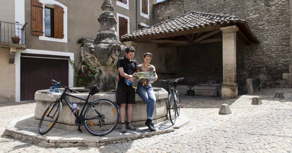
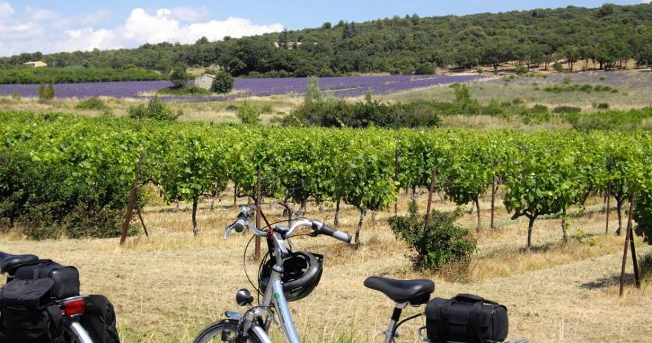
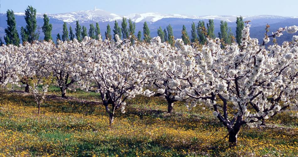
This itinerary does not have any large technical difficulties, making it ideal for families. You will be able to discover the terroir of "Muscat du Ventoux" grape producers as well as cherries, plums and figs from "Val de Nesque".Accéder à l'itinéraire
recommended
parking(s)
In front of the school
road access
From Carpentras via the D4 then the D1
To be noted
- Take care between points 1 and 2: narrow and relatively busy road
 If you notice a problem on one of the Provence cycling routes report it with the Suricate app!: sentinelles.sportsdenature.fr
Access to the massifs
Respect the regulations preserving protected natural areas – find out about restrictions to accessing the massifs during fire risk periods, from 15 June to 15 September.
Before heading out, check the website
Respect the regulations preserving protected natural areas – find out about restrictions to accessing the massifs during fire risk periods, from 15 June to 15 September.
Before heading out, check the website
In short
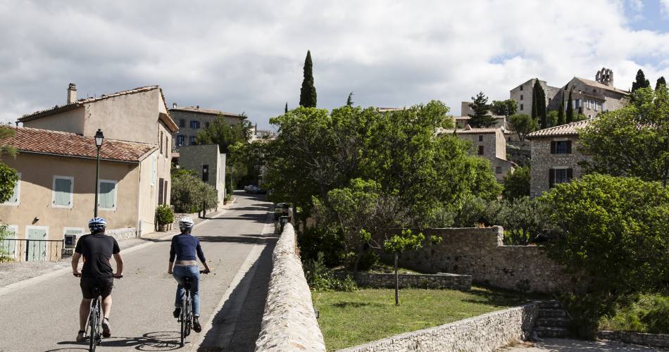
- Mont Ventoux terraced land - typical landscapes: oak trees, vineyards and orchards
- Magnificent views over Mont Ventoux and the Comtat plains
- Refreshing break at Salettes Lake in Mormoiron
Contact
Parc Naturel Régional du Mont-VentouxE-Mail : villes-sur-auzon@ventoux-sud.com
Website : http://www.ventouxprovence.fr/accueil.html