
20 - around Carpentras Canal
20
Route
Loop
Difficulty
Intermediary
Duration
3h
Distance
34.35km
Positive elevation
318 meters
Negative elevation
319 meters
Altitude
Min. 38 meters
Max. 198 meters
Departure / Arrival
Parking de la Coulée Verte à Carpentras / Parking de la Coulée Verte à Carpentras
Parking
Parking de la Coulée Verte à Carpentras
Elevation
Downloads
GPX track
1 / 5
The tourist service at Carpentras :
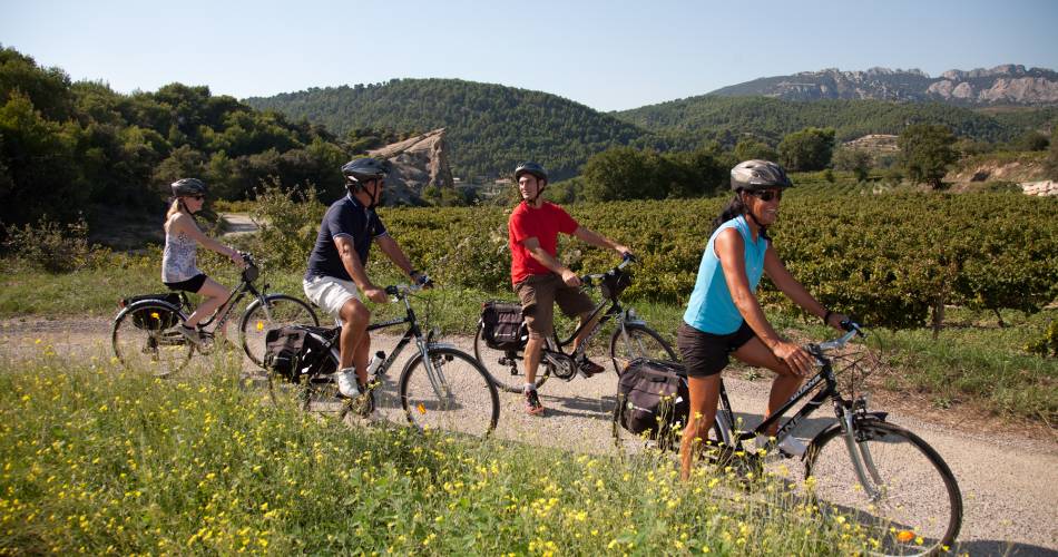
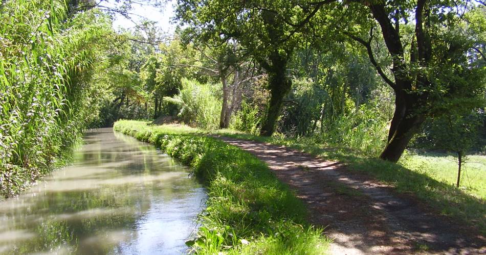
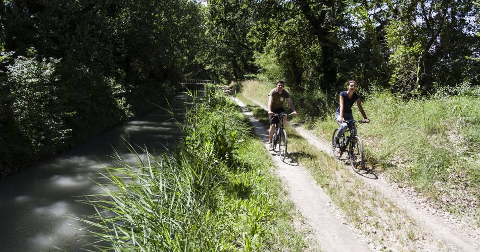
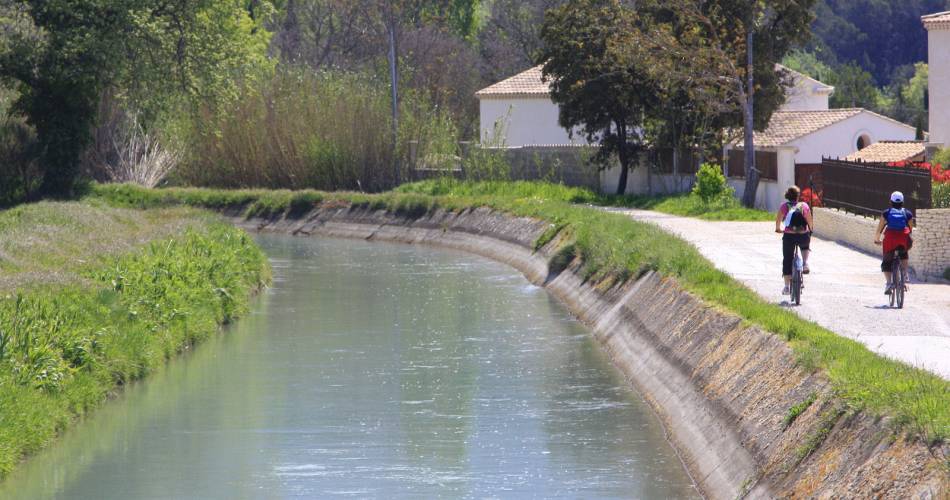
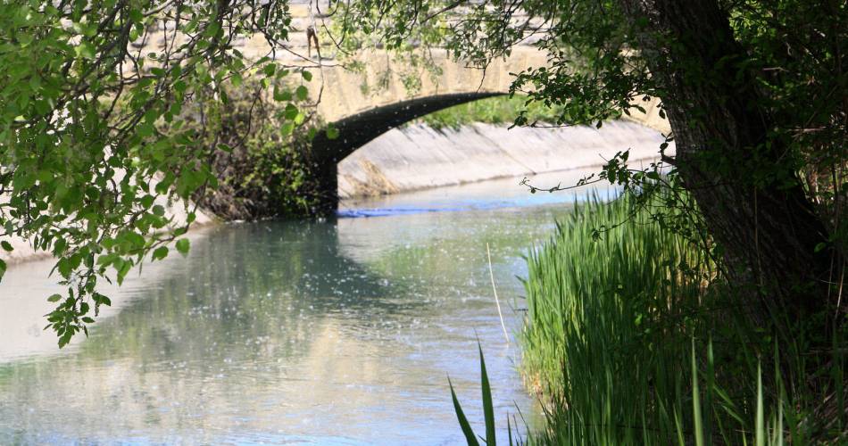
Carpentras Canal will be your guide throughout this lovely itinerary.Accéder à l'itinéraire
public transport
Regional train line (TER): Avignon-Carpentras
recommended
parking(s)
'Coulée Verte' car park
road access
No particular recommendations
To be noted
- Between 1 and 2 : unpaved section
- Between 3 and 4 : unpaved canal banks
- Take care along the canal banks
 If you notice a problem on one of the Provence cycling routes report it with the Suricate app!: sentinelles.sportsdenature.fr
Access to the massifs
Respect the regulations preserving protected natural areas – find out about restrictions to accessing the massifs during fire risk periods, from 15 June to 15 September.
Before heading out, check the website
Respect the regulations preserving protected natural areas – find out about restrictions to accessing the massifs during fire risk periods, from 15 June to 15 September.
Before heading out, check the website
In short
- Historic centre of Carpentras: Synagogue, Cathedral, The Inguimbertine (library-museum)
- Carpentras canal, farmland and winegrowing landscapes in the Comtat Venaissin
- The village of Beaumes-de-Venise and Rocalinaud Rock
Downloads
Contact
sevice patrimoine & culture de la CoveE-Mail : carpentras@ventouxprovence.fr
Website : https://www.provence-a-velo.fr/equipements/mont-ventoux/20-autour-du-canal-de-carpentras/provence-4688266-1.html