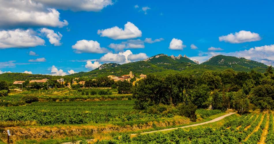
21 - Comtadin Vineyards
21
Route
Loop
Difficulty
Intermediary
Duration
3h
Distance
34.78km
Positive elevation
247 meters
Negative elevation
246 meters
Altitude
Min. 32 meters
Max. 124 meters
- circuit
- variante
- voie verte
- liaison
Departure / Arrival
Sarrians / Sarrians
Parking
Sarrians
Elevation
Downloads
GPX track
The tourist service at Sarrians :
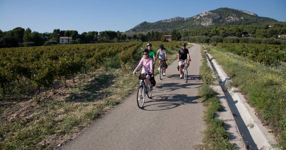
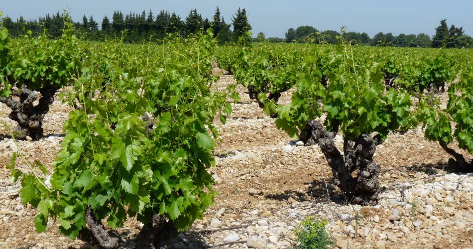
The vineyards are the star of this itinerary!
All the towns you cycle through are famous for their AOC Côtes du Rhône wines and their AOC Ventoux wines, and for growing vinestock. As you cycle you will also come to understand the importance of water here, as you cross Carpentras Canal and cycle along the derivation canal on the scrub highlands between Sarrians and Vacqueyras. Irrigation has also enabled other crops to be grown here, such as strawberries, vegetables, fruit trees and more.
Itinerary created by the 'Communauté d'agglomération Ventoux Comtat Venaissin' www.destination-ventoux.com
Itinerary created by the 'Communauté d'agglomération Ventoux Comtat Venaissin' www.destination-ventoux.com
Accéder à l'itinéraire
public transport
By train to Carpentras then via the Trans'CoVe network Line I
recommended
parking(s)
Boulevard Jean Giono in Sarrians
road access
Via Orange and Carpentra on the D 950
To be noted
Points 1, 2 and 3 : crowded road, be very careful.
 If you notice a problem on one of the Provence cycling routes report it with the Suricate app!: sentinelles.sportsdenature.fr
Access to the massifs
Respect the regulations preserving protected natural areas – find out about restrictions to accessing the massifs during fire risk periods, from 15 June to 15 September.
Before heading out, check the website
Respect the regulations preserving protected natural areas – find out about restrictions to accessing the massifs during fire risk periods, from 15 June to 15 September.
Before heading out, check the website
In short
- Characteristic landscapes of vineyards growing AOC Ventoux and Côtes du Rhône, AOC Muscat of Beaumes-de-Venise, and AOC Vacqueyras
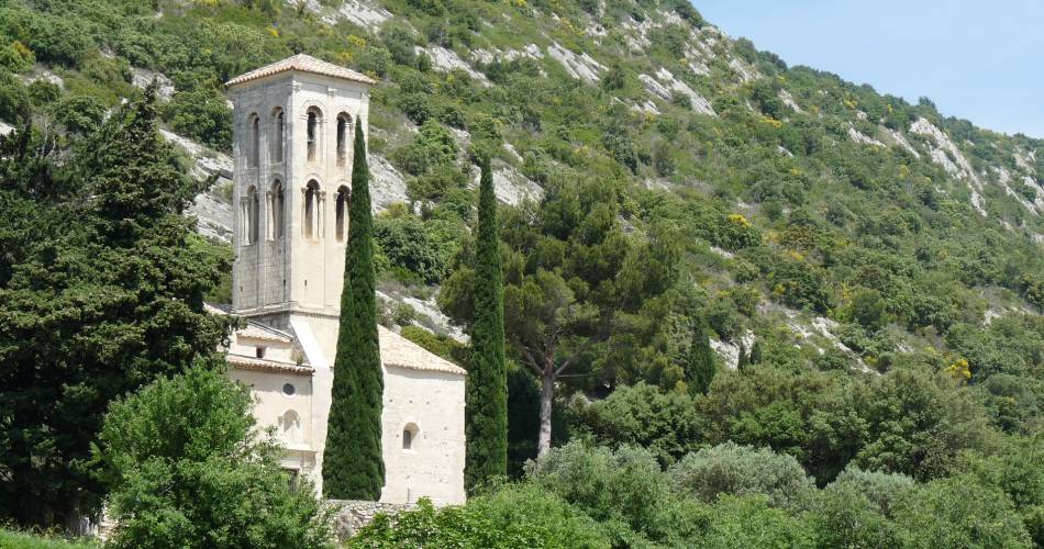
- Notre-Dame d'Aubune chapel in Beaumes-de-Venise
- Magnificent views over Mont Ventoux and the Dentelles of Montmirail
Downloads
Contact
sevice patrimoine & culture de la CoveE-Mail : sarrians@ventouxprovence.fr
Website : https://www.ventouxprovence.fr/fileadmin/mediatheque/ventoux-provence/document/velo-itineraire-vignes-comtadines.pdf
