
A - Ascent of Mont-Ventoux from Bédoin
A
Route
Round trip
Difficulty
Very difficult
Duration
4h
Distance
21.44km
Positive elevation
1589 meters
Negative elevation
5 meters
Altitude
Min. 310 meters
Max. 1894 meters
Departure / Arrival
Bédoin / sommet du mont ventoux
Parking
sommet du mont ventoux
Elevation
GPX track
1 / 4
The tourist service at Bédoin :
The legendary climb from Bédoin from kilometre zero!Accessible from mid-April to mid-November.
Accéder à l'itinéraire
public transport
recommended
parking(s)
Parking along the D974 towards Chalet Reynard
To be noted
- Practice before your journey, and make sure you are in peak physical condition.
- Use an adapted road bike and check the weather. forecast before departure.
- Take warm clothing. There may be a 10° difference in temperature.
- Most accidents occur during the descent, so be careful, take breaks and control your speed.
- Avoid leaving at the hottest hours, early-morning or late-afternoon departure is recommended.
- The last 6 km are very exposed to wind and the sun. Plan your equipment accordingly (wind block, sunscreen....)
Water points on the route:
- Fountain in front of the Bédoin Tourist Office
- Fountain at Chalet Reynard
- Fontaine de la Grave (1.6km after Chalet Reynard)
Picnic areas and garbage cans are located throughout the route, please dispose of your waste properly.
 If you notice a problem on one of the Provence cycling routes report it with the Suricate app!: sentinelles.sportsdenature.fr
Access to the massifs
Respect the regulations preserving protected natural areas – find out about restrictions to accessing the massifs during fire risk periods, from 15 June to 15 September.
Before heading out, check the website
Respect the regulations preserving protected natural areas – find out about restrictions to accessing the massifs during fire risk periods, from 15 June to 15 September.
Before heading out, check the website
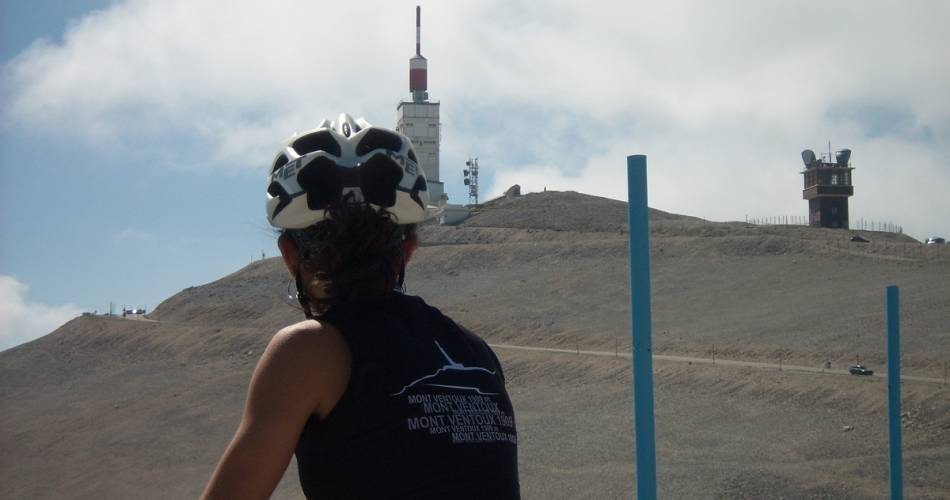
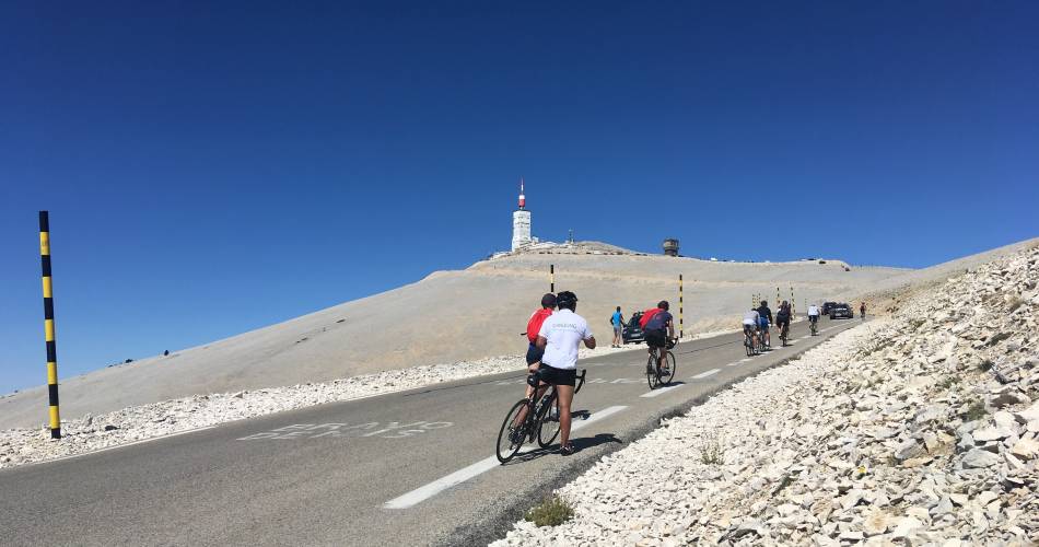
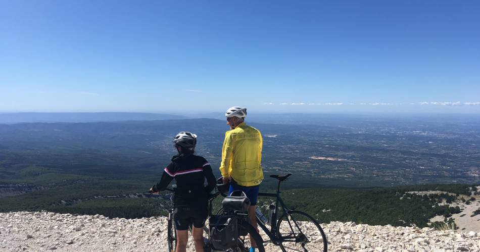
In short
This is the legendary stage of the Tour de France.The most difficult of the 3 climbs, the slope increases over 22 km of winding roads, with 5 to 7% elevation during the first 6 kilometres, then 10 to 12% as the path gets closer to the summit. The path from Bédoin to Saint Estève is a nice warm-up with 4.5% elevation.From Saint-Estève to the Chalet Reynard comes an 8km climb through dense forest.The lunar landscape of the Massif begins at Chalet Reynard and continues for the last 6 km on a slope with 8% elevation.