Long Distance Mountain Bike Trail, Stage 1 - From Savoillans to Malaucène

Route
Crossing
Difficulty
Difficult
Duration
6h
Distance
33.31km
Positive elevation
1347 meters
Negative elevation
1 meters
Altitude
Min. 329 meters
Max. 994 meters
- circuit
- variante
- voie verte
- liaison
The tourist service at Savoillans :
This is the first stage of Vaucluse’s Long Distance Mountain Bike Trail. An information board in the car park sets out the general route and provides practical information.
An information board in the car park sets out the general route and provides practical information.
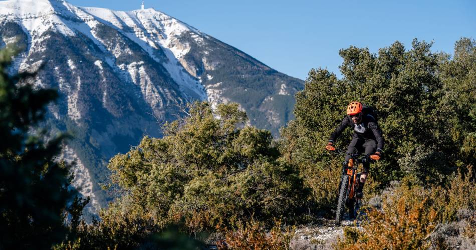
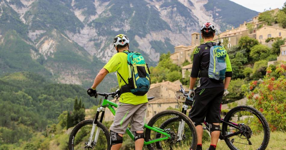
And it’s quite an introduction: after a difficult climb up a steep path, with a few small jumps, you’ll be rewarded with a superb stretch along the Rocher du Charles ridge and breathtaking views of Mont Ventoux with its steep and secretive North face. Once through the picturesque village of Brantes, you’ll climb the Col de Fontaube (635 m), passing one-hundred-year-old oak trees en route. A challenging descent on loose gravel, a typical feature of the region, will bring you to Saint Léger du Ventoux and the Toulourenc valley.
From the Toulourenc valley, you’ll climb more than 600 m up Mont Ventoux, firstly along a path and then a wide track where you’ll have the chance to enjoy the unusual panoramic view of this remote valley. At the col du Comte (996 m), you'll embark upon a lengthy, twisting but beautiful descent, along a challenging trail, until you reach the foot of the Giant of Provence. Between Beaumont and Malaucène, you’ll wend your way through a landscape of orchards, before a well-deserved and refreshing stop at the source of the river Groeau, just before Malaucène.
recommended
parking(s)
in front of the Savoillans Town Hall
To be noted
 If you notice a problem on one of the Provence cycling routes report it with the Suricate app!: sentinelles.sportsdenature.fr
Access to the massifs
Respect the regulations preserving protected natural areas – find out about restrictions to accessing the massifs during fire risk periods, from 15 June to 15 September.
Before heading out, check the website
Respect the regulations preserving protected natural areas – find out about restrictions to accessing the massifs during fire risk periods, from 15 June to 15 September.
Before heading out, check the website
In short
- Superb ridge crossing and stunning views of Mont Ventoux.
- Discover the picturesque village of Brantes
- Stony, technical descent before Saint-Léger-du-Ventoux and "trial-like” descent towards Malaucène.
- Ascent of 600 m D+ on the slopes of the Ventoux


