
Long Distance Mountain Bike Trail, Stage 2 – From Malaucène to Bedoin

Route
Crossing
Difficulty
Difficult
Duration
6h
Distance
42.51km
Positive elevation
0 meters
Negative elevation
0 meters
Altitude
Min. 0 meters
Max. 0 meters
1 / 2
The tourist service at Malaucène :
After Malaucène, a cycling town and the northern gateway to Mont Ventoux, you will head towards the Dentelles de Montmirail region.Accéder à l'itinéraire
public transport
Bus from Carpentras to Malaucène. Bus Zou: Line 11 Carpentras - Vaison la romaine
recommended
parking(s)
In front of the Post Office
road access
From Carpentras, head in the direction of Malaucène.
To be noted
 If you notice a problem on one of the Provence cycling routes report it with the Suricate app!: sentinelles.sportsdenature.fr
Access to the massifs
Respect the regulations preserving protected natural areas – find out about restrictions to accessing the massifs during fire risk periods, from 15 June to 15 September.
Before heading out, check the website
Respect the regulations preserving protected natural areas – find out about restrictions to accessing the massifs during fire risk periods, from 15 June to 15 September.
Before heading out, check the website
In short
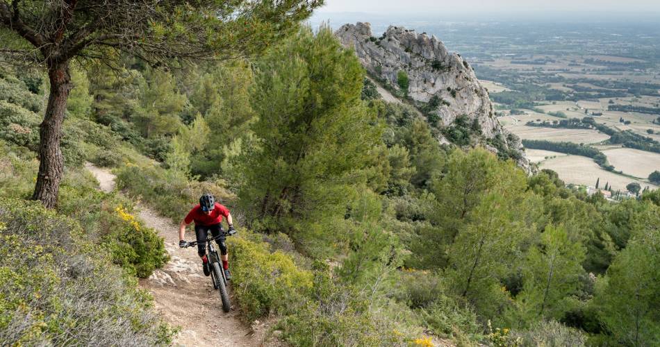
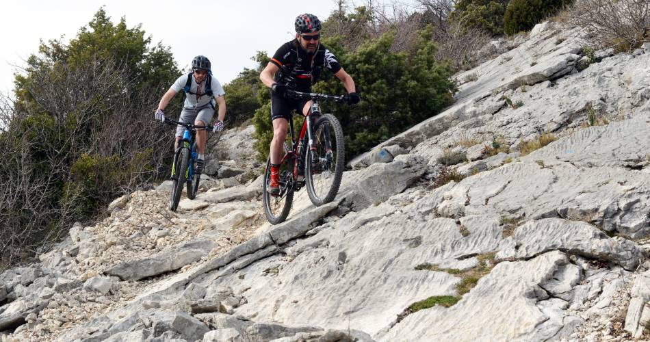
- Itinerary in the heart of the Dentelles de Montmirail, between rocky spurs, pine forests and vineyards.
- Beautiful single-track trails.
- Discovery of beautiful hilltop villages.
- Passages through the land of Ochre.
Contact
Ventoux Provence TourismeE-Mail : info@provenceguide.com
Website : https://www.provence-a-velo.fr