
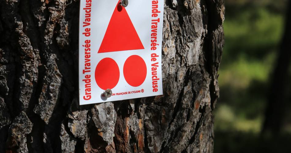
Long Distance Mountain Bike Trail, Stage 3 – From Bedoin to Aurel

Route
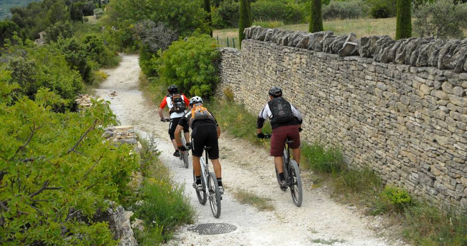
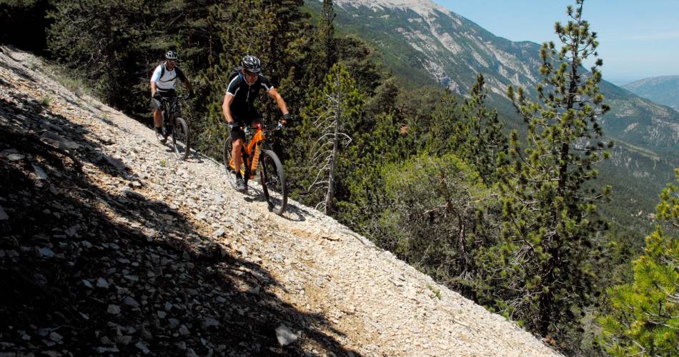
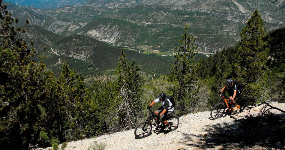
Crossing
Difficulty
Difficult
Duration
5h
Distance
49.28km
Positive elevation
1843 meters
Negative elevation
1 meters
Altitude
Min. 383 meters
Max. 1526 meters

1 / 5
The tourist service at Bédoin :
This trail is marked by a long and arduous start, extending over 15 kilometres, with an elevation gain in excess of 1,000 metres, but the breath-taking view is sure to distract you from the exertion involved.Accéder à l'itinéraire
public transport
recommended
parking(s)
In front of the holiday villages in Bedoin.
To be noted
Before departure, make sure to consult the Prevention of fire risks in Vaucluse website, to respect the massif closures. (T. +33 (0)4.28.31.77.11)
This itinerary is best suited to autumn and spring
 If you notice a problem on one of the Provence cycling routes report it with the Suricate app!: sentinelles.sportsdenature.fr
Access to the massifs
Respect the regulations preserving protected natural areas – find out about restrictions to accessing the massifs during fire risk periods, from 15 June to 15 September.
Before heading out, check the website
Respect the regulations preserving protected natural areas – find out about restrictions to accessing the massifs during fire risk periods, from 15 June to 15 September.
Before heading out, check the website
In short
- 15 km distance and more than 1000m E+
- Breath-taking panoramic views of the lunar landscape at the heart of the Mont Ventoux Regional Natural Park
- Steep trail on a balcony road, fun and technical
- Single-track descent to Aurel and Sault.
Contact
Parc Naturel Régional du Mont-VentouxE-Mail : contact@parcduventoux.fr
Website : https://www.ventouxprovence.fr