MTB n°13 - At the gates of the Nesque
13
Route
Loop
Difficulty
Difficult
Duration
3h
Distance
22.83km
Positive elevation
731 meters
Negative elevation
731 meters
Altitude
Min. 251 meters
Max. 574 meters
- circuit
- variante
- voie verte
- liaison
Departure / Arrival
Villes-sur-Auzon / Villes-sur-Auzon
Parking
Villes-sur-Auzon
Elevation
Downloads
GPX track
The tourist service at Villes-sur-Auzon :
Difficult mountain bike itinerary at the foot of the Nesque River Canyons
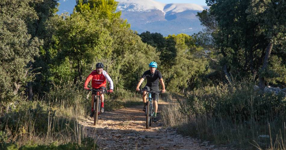
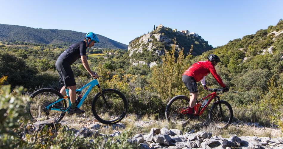
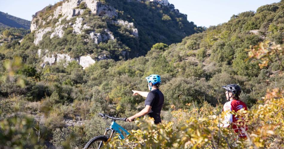
Starting from Villes-sur-Auzon, between Nesque River Canyons, vineyards and orchards, this technical and physically demanding circuit is for experienced cyclists. Magnificient views over Mont-Ventoux, the surrounding countryside, and the villages of Méthamis and Blauvac.
recommended
parking(s)
Esplanade Claude Bérard (on rue Villeneuve)
To be noted
- During hunting season, wear brightly coloured clothing, make yourself known and respect the signage put in place by the hunting party
 If you notice a problem on one of the Provence cycling routes report it with the Suricate app!: sentinelles.sportsdenature.fr
Access to the massifs
Respect the regulations preserving protected natural areas – find out about restrictions to accessing the massifs during fire risk periods, from 15 June to 15 September.
Before heading out, check the website
Respect the regulations preserving protected natural areas – find out about restrictions to accessing the massifs during fire risk periods, from 15 June to 15 September.
Before heading out, check the website
In short
- A loop that winds between vineyards and orchards at the gates of the Nesque
- Discovery of hilltop villages of Blauvac and Méthamis
- Magnificient views over Mont Ventoux and the superb countrydside
Downloads
Contact
Parc Naturel Régional du Mont-VentouxE-Mail : contact@parcduventoux.fr
Website : http://www.ventouxprovence.fr/accueil.html


