
MTB n°8 - Terre de lavande
8
Route
Loop
Difficulty
Difficult
Duration
3h
Distance
25.27km
Positive elevation
513 meters
Negative elevation
514 meters
Altitude
Min. 682 meters
Max. 856 meters
Departure / Arrival
Sault / Sault
Parking
Sault
Elevation
Downloads
GPX track
1 / 4
The tourist service at Sault :
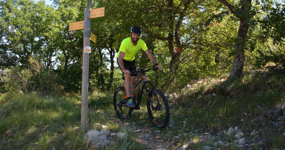
A varied, picturesque circuit accessible for all, including mountain bikes with electric assistance.Accéder à l'itinéraire
recommended
parking(s)
Aires Carpark
road access
From Carpentras, follow the D942 towards Mazan then the D1 from Villes-sur-Auzon.Once in the centre of Sault, follow the signs to the Aires Carpark.
To be noted
During hunting season, wear a brightly coloured outfit to make yourself distinguishable, and follow the signs posted by hunters.
If you come across a herd, bypass it and follow the rules concerning livestock guardian dogs.
 If you notice a problem on one of the Provence cycling routes report it with the Suricate app!: sentinelles.sportsdenature.fr
Access to the massifs
Respect the regulations preserving protected natural areas – find out about restrictions to accessing the massifs during fire risk periods, from 15 June to 15 September.
Before heading out, check the website
Respect the regulations preserving protected natural areas – find out about restrictions to accessing the massifs during fire risk periods, from 15 June to 15 September.
Before heading out, check the website
In short
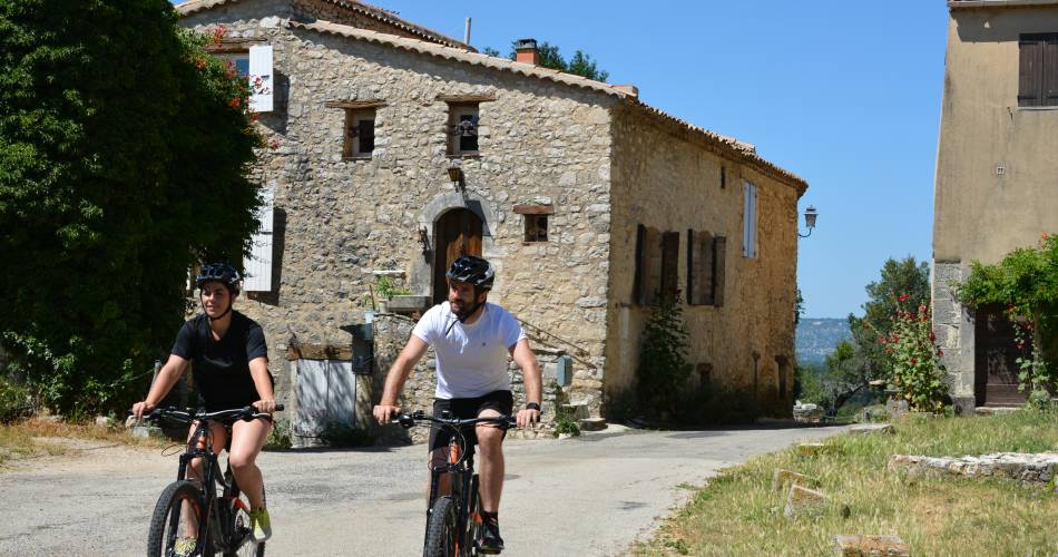
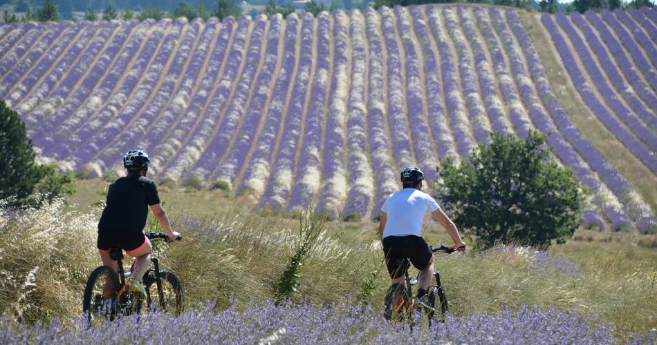
- The Sault Plateau with its fields of lavender and small spelt
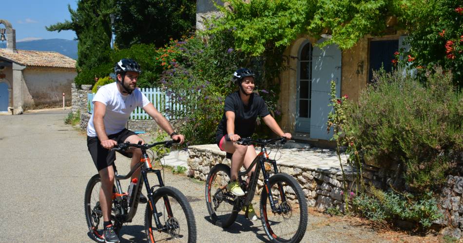
- The villages of Sault, Aurel and Saint-Trinit
- Panoramic views of nearby villages and mountain ranges
Downloads
Contact
Parc Naturel Régional du Mont-VentouxE-Mail : contact@parcduventoux.fr
Facebook : https://www.facebook.com/OTI-Ventoux-Sud-1387460531503903/