
MTB no.14 - Grand Bois
14
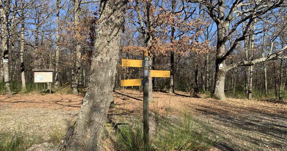
Route
Loop
Difficulty
Easy
Duration
2h
Distance
11.91km
Positive elevation
129 meters
Negative elevation
129 meters
Altitude
Min. 835 meters
Max. 865 meters
Departure / Arrival
Saint-Christol / Saint-Christol
Parking
Saint-Christol
Elevation
GPX track
1 / 4
The tourist service at Saint-Christol :
A pleasant and easy mountain bike route, suitable for beginners and departing from Saint-Christol.recommended
parking(s)
parking in the center of the village
To be noted
- During huntig season, wear brightly coloured clothing, make yourself known and respect the signage put in place by the hunting party.
- If you come across a herd of animals, go around rather than through it and respect safety regulations concerning livestock guard dogs.
- Access to forest areas is regulated during the summer season (July to September). To find out the daily level of fire risk, check the information point at +33 (0)4 28 31 77 11 or go to www.risque-prevention-incendie.fr/vaucluse. In the event of a fire, alert the fire brigad : 112 or 18.
 If you notice a problem on one of the Provence cycling routes report it with the Suricate app!: sentinelles.sportsdenature.fr
Access to the massifs
Respect the regulations preserving protected natural areas – find out about restrictions to accessing the massifs during fire risk periods, from 15 June to 15 September.
Before heading out, check the website
Respect the regulations preserving protected natural areas – find out about restrictions to accessing the massifs during fire risk periods, from 15 June to 15 September.
Before heading out, check the website
In short
- Discovery of the village of Saint-Christol
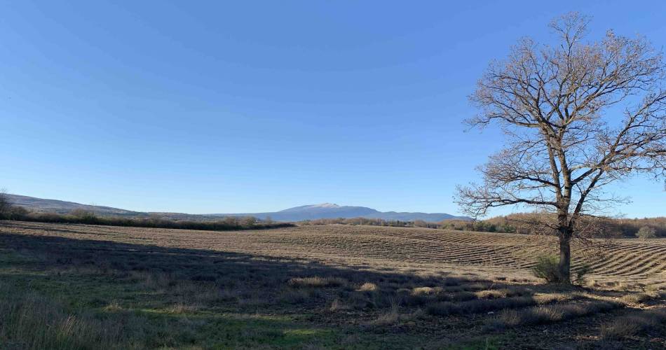
- Panoramas of the Ventoux and the Albion plateau
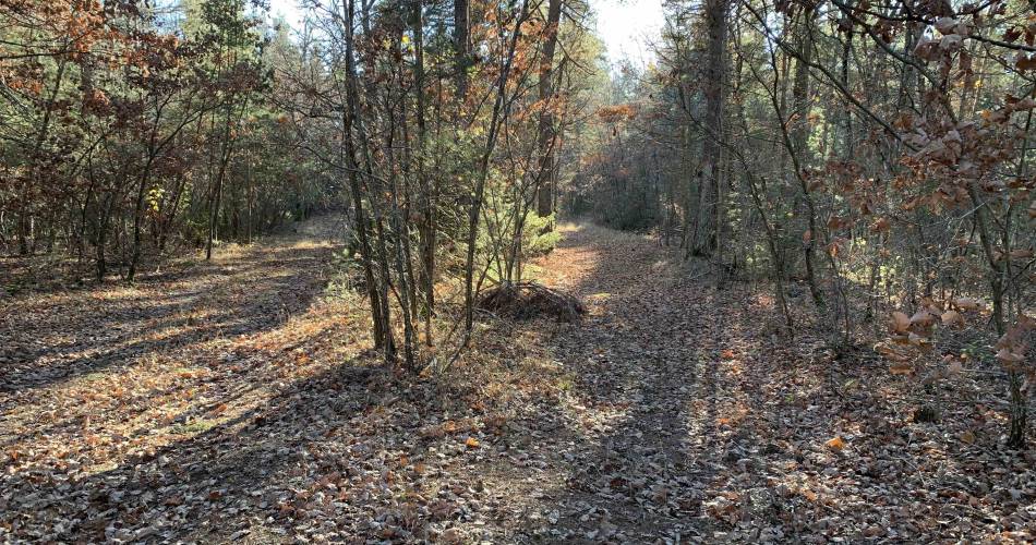
- The "Grand Bois", agricultural landscapes and lavender fields