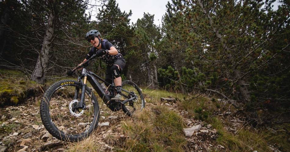
Vaucluse Long Distance Mountain Bike Trail in 7 Stages

Route
Crossing
Difficulty
Difficult
Duration
168h
Distance
0.00km
Positive elevation
0 meters
Negative elevation
0 meters
Altitude
Min. 449 meters
Max. 449 meters
- circuit
- variante
- voie verte
- liaison
Departure / Arrival
Savoillans / Mérindol
Parking
Mérindol
Elevation
Downloads
GPX track
The tourist service at Savoillans :
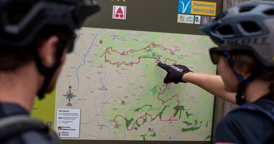
All year round, discover an exceptional area between Mont Ventoux, the Dentelles de Montmirail, the Vaucluse and Luberon mountains, through authentic landscapes, picturesque villages and remarkable nature, along a technical and involved route.
Stage 1: Savoillans › Malaucène
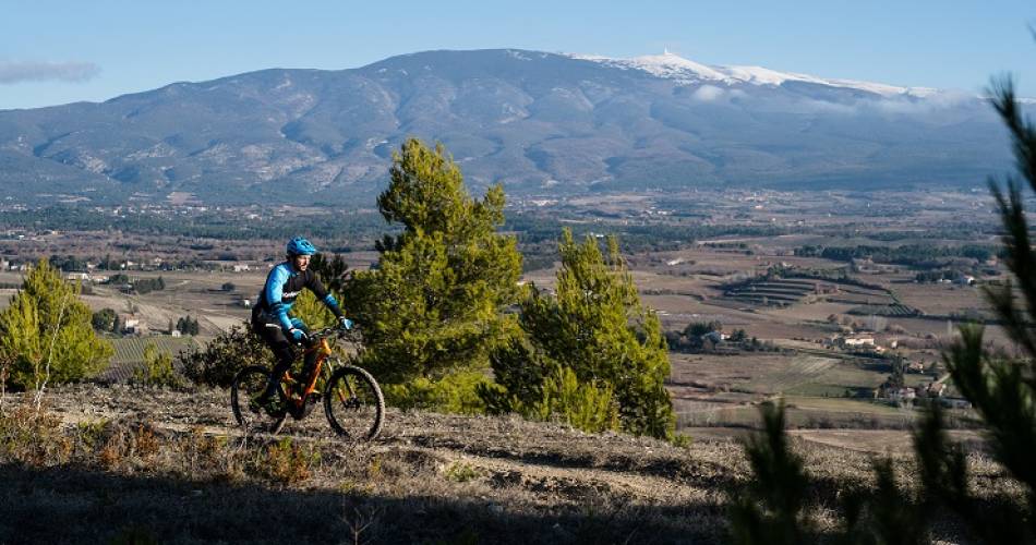
The route starts in the mysterious Toulourenc Valley, offering a physical and technical opening stage. An initial ascent of the Giant of Provence then offers a change of pace for a memorable descent to Malaucène
Stage 2: Malaucène › Bédoin
The Dentelles de Montmirail's famous limestone ridges set you a challenge. Via a series of fantastic single tracks with lots of changes of tempo, among rocky laminae, pine forests and vineyards, you reach Bédoin, the southern gateway to Mont Ventoux
Stage 3: Bédoin › Aurel
A first ascent of 15 km with a 1,000-m elevation gain towards the highest part of Ventoux takes you to the heart of the Biosphere Reserve. With steep paths, passages overlooking the valley, fast and fun descents, breathtaking panoramas, etc., it is an exceptional stage
Stage 4: Aurel › Saint-Saturnin-lès-Apt
From the Sault plateau and its lavender fields, the itinerary reaches the magnificent Nesque River Canyons via steep paths. The route then disappears into the Vaucluse mountains before turning towards the Luberon through a succession of rocky vales
Stage 5: Saint-Saturnin-lès-Apt › Vitrolles-en-Luberon
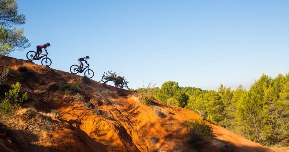
After several kilometres among vines and cherry trees, the route enters the Colorado of Provence along sandy single tracks. The next very hilly section follows beautiful trails along ridges and overlooking the valleys for an incursion into Alpes-de-Haute-Provence, before climbing up the massive slopes of the Luberon mountains
Stage 6: Vitrolles-en-Luberon › Lauris
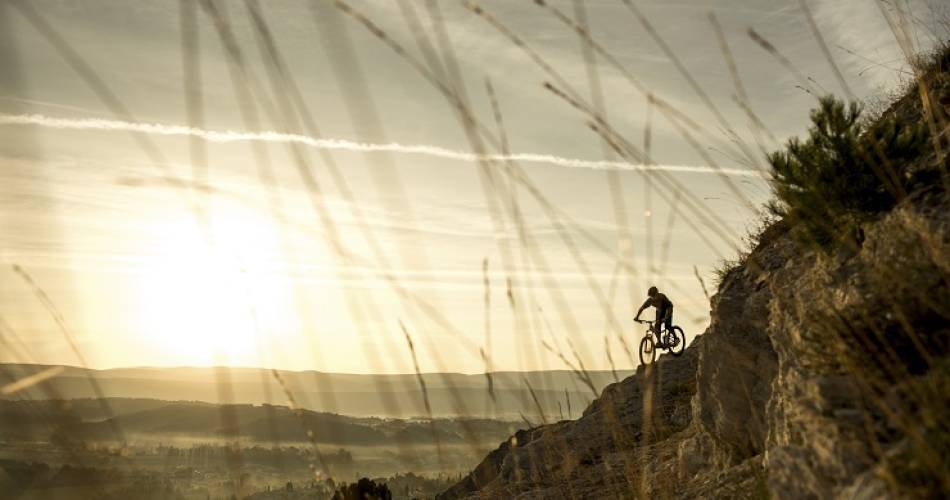
The ridges of the Grand Luberon and the summit (Mourre Nègre 1,125 m.) offer a striking panorama. This is followed by a long descent to Claparèdes plateau and its succession of lavender fields and bories. After the verdant vale of Aiguebrun, the itinerary changes mountain massif to climb the Petit Luberon and turn to head south.
Stage 7: Lauris › Mérindol
This stage begins with a tough ascent, with an unbeatable view of the Durance and Alpilles mountains, all the way to mystical Cèdres forest. The route then veers north to join the foothills and their medieval villages. A few slopes and playful paths take you to old Mérindol and the end of the adventure.
To be noted
 If you notice a problem on one of the Provence cycling routes report it with the Suricate app!: sentinelles.sportsdenature.fr
Access to the massifs
Respect the regulations preserving protected natural areas – find out about restrictions to accessing the massifs during fire risk periods, from 15 June to 15 September.
Before heading out, check the website
Respect the regulations preserving protected natural areas – find out about restrictions to accessing the massifs during fire risk periods, from 15 June to 15 September.
Before heading out, check the website
