16 - In the foothills of the Dentelles de Montmirail
16
Route
Loop
Difficulty
Difficult
Duration
2h
Distance
21.73km
Positive elevation
391 meters
Negative elevation
391 meters
Altitude
Min. 92 meters
Max. 370 meters
- circuit
- variante
- voie verte
- liaison
Departure / Arrival
Place du marché à Beaumes-de-Venise / Place du marché à Beaumes-de-Venise
Parking
Place du marché à Beaumes-de-Venise
Elevation
Downloads
GPX track
The tourist service at Beaumes-de-Venise :
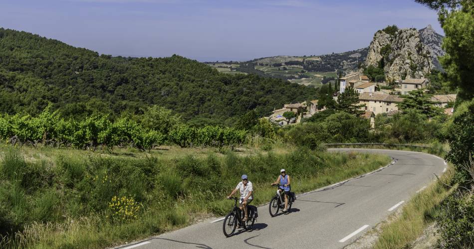
This bike trail takes you through the heart of the Dentelles de Montmirail range.
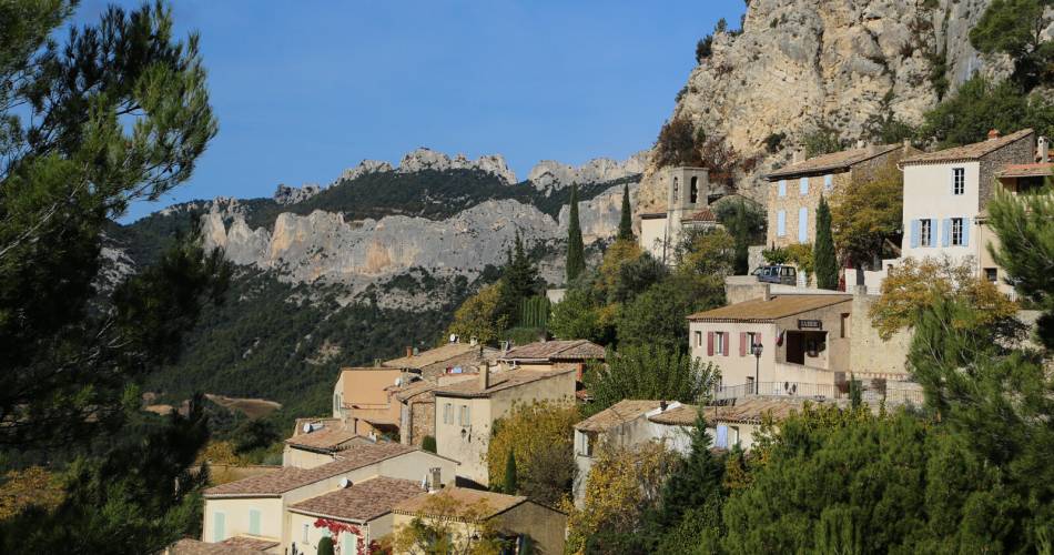
You will discover the many elements of the mountains: vineyards, olive trees in terraced fields, hilltop villages, geology etc. The paths wind and require a bit of effort, but the beauty of the landscapes and the charm of the villages are the ultimate reward.
Itinerary created by the 'Communauté d'agglomération Ventoux Comtat Venaissin' www.provence-ventouxcomtat.com
Itinerary created by the 'Communauté d'agglomération Ventoux Comtat Venaissin' www.provence-ventouxcomtat.com
Accéder à l'itinéraire
public transport
From Carpentras TER station, take the J Trans'Cove bus (get off at Place du Marché)
recommended
parking(s)
Market square
road access
Beaumes-de-Venise Town Centre
To be noted
- The climb from Lafare to La Roque Alric requires good physical condition
- A section between Caromb and Saint-Hippolyte-Le-Graveyron takes an unpaved road
 If you notice a problem on one of the Provence cycling routes report it with the Suricate app!: sentinelles.sportsdenature.fr
Access to the massifs
Respect the regulations preserving protected natural areas – find out about restrictions to accessing the massifs during fire risk periods, from 15 June to 15 September.
Before heading out, check the website
Respect the regulations preserving protected natural areas – find out about restrictions to accessing the massifs during fire risk periods, from 15 June to 15 September.
Before heading out, check the website
In short
- Hilly route with gorgeous views over the Dentelles de Montmirail
- Explore the villages of Lafare, La Roque Alric, Le Barroux et Beaumes-de-Venise
- See terraced vineyards
Downloads
Contact
sevice patrimoine & culture de la CoveE-Mail : beaumesdevenise@ventouxprovence.fr
Website : https://www.provence-a-velo.fr/equipements/cote-rhone/16-au-pied-des-dentelles/provence-4600040-1.html

