Uchaux
Mountain bike trail - Le Paty - Uchaux
The tourist service at Uchaux :
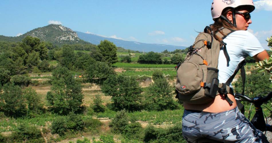
"Le Paty" is like an invitation to contemplate Mont Ventoux from its very peak. The presence of a ford and picnic areas make this outing lots of fun and pleasant for the younger crowd.
Itinerary: start at the cemetery and take the road in the direction of the Galle. Just after the town entrance sign take the first street on the right towards the church. Then turn left and pass in front of the tennis courts up to a road cordoned off by a cable. Here, turn right and follow a path which goes over a ford and along a stream which is often dry - leading to a paved road. At the following crossroads, take a right and after around 600 metres you will see a stone pillar on the left marking a path that goes into the woods. Red and yellow (GRP) markings. (1: 73 m - 2 km) Take this trail which leads to a ford. Cross the ford and find a road that you will take to the left, it passes in front of a picnic area and ends up at a crossroad. Take the trail on the right which goes up - continue following the markings and continue this trail to its end, at a ridge. (2: 160 m – 6 km) Switch over to the other slope and find a paved road which you follow to the right. Continue following this road until it intersects with the D74. Turn on the right and then quickly on the left (discreet yellow and red marking on a a sign) to then take a small road; (3: 97 m – 10 km) Continue on this road, then on a path, making sure that you are going straight. Reach the D11, turn right to come back to the starting point.
Circuit created by CG84 and Vtopo - from Vtopo Vaucluse http://vtopo.fr/vtt-vaucluse.html
Circuit created by CG84 and Vtopo - from Vtopo Vaucluse http://vtopo.fr/vtt-vaucluse.html
Spoken languages
- French
Contact
Mountain bike trail - Le Paty - UchauxLa Galle
84100 Uchaux
coordinates
Longitude : 4.802882Latitude : 44.21111
