
VTT n°18 - Grand Alizier
18
Route
Loop
Difficulty
Intermediary
Duration
2h30
Distance
19.65km
Positive elevation
551 meters
Negative elevation
551 meters
Altitude
Min. 199 meters
Max. 508 meters
Departure / Arrival
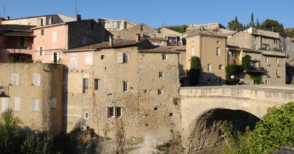
Vaison-la-Romaine / Vaison-la-Romaine
Parking
Vaison-la-Romaine
Elevation
GPX track
1 / 3
The tourist service at Vaison-la-Romaine :
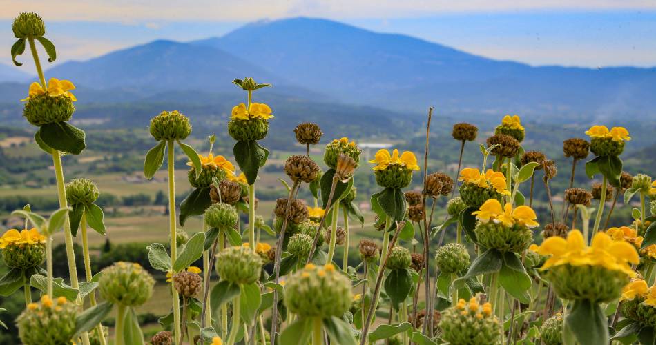
For experienced mountain bikers, this beautiful cross-country trail will take you to the heights of Vaison-la-Romaine between the Dentelles and Ventoux.recommended
parking(s)
Résidence Escapade Le Moulin de César
To be noted
- Points 1 and 2 : caution
- During huntig season, wear brightly coloured clothing, make yourself known and respect the signage put in place by the hunting party.
- Access to forest areas is regulated during the summer season (July to September). To find out the daily level of fire risk, check the information point at +33 (0)4 28 31 77 11 or go to www.risque-prevention-incendie.fr/vaucluse.
In the event of a fire, alert the fire brigad : 112 or 18
 If you notice a problem on one of the Provence cycling routes report it with the Suricate app!: sentinelles.sportsdenature.fr
Access to the massifs
Respect the regulations preserving protected natural areas – find out about restrictions to accessing the massifs during fire risk periods, from 15 June to 15 September.
Before heading out, check the website
Respect the regulations preserving protected natural areas – find out about restrictions to accessing the massifs during fire risk periods, from 15 June to 15 September.
Before heading out, check the website
In short
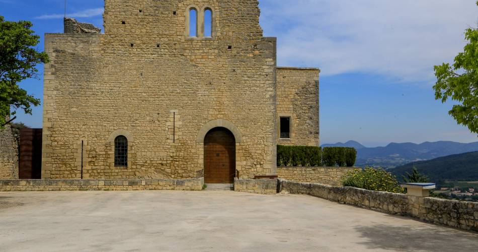
- Discovery of wooded and wine-growing hills on the heights of Vaison-la-Romaine and Crestet
- Panoramas of Mont-Ventoux and the crests of Saint-Amand