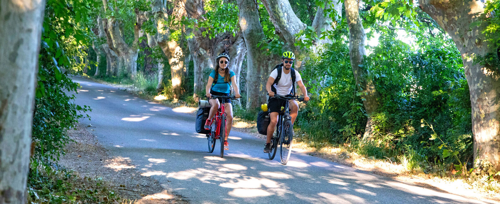
“Run & Bike” Trip
A micro-adventure on the Via Rhôna
Need a route to help you keep fit and improve your stamina? This “Run & Bike” trip, starting in Avignon, comprises both a running section (which you can modify to suit your fitness) and a bike trail, with minimal elevation gain across a distance accessible to everyone.
facile
intermédiaire
difficile
Duration:
3 hours
Pratice:
Bike rides
Type:
round trip
Car park:
Avignon centre station
Starting at the Via Rhôna in Avignon
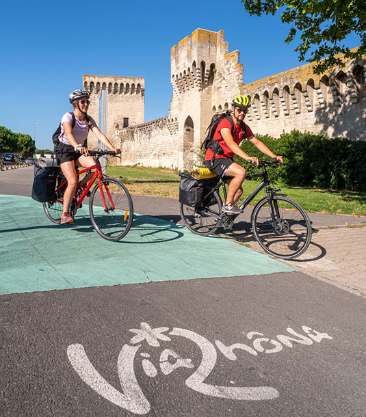
This ride begins at the foot of the ramparts of the “Cité des Papes”.
The Via Rhôna is a wide path which enables pedestrians and cyclists to explore Avignon, a city steeped in mediaeval history.
With an ATB, Gravel, or MTB bike, start off by riding along the city walls until you reach the Pont Daladier, which will enable you to cross the Rhône for the first time.
The Via Rhôna heads in the direction of l’île de la Barthelasse (towards Sorgue). Here, although the véloroute continues straight ahead, a more touristy option is to follow the Rhône past the campsite.
A beautiful view of the Pont d’Avignon and the Rocher des Doms makes for a particularly charming first few kilometres.
Then, after having left Le Bercail restaurant to the left, rejoin the Via Rhôna by turning right onto Chemin de Dardenne.
From Island to Island by bike
Over about fifteen very picturesque kilometres, the Via Rhôna passes through l’île de la Barthelasse, followed by l’île de la Motte, before rejoining l’Oiselay via a bridge spanning the Rhône.
On these nice straight paths, it is up to you to set the pace – either work your muscles or simply cruise along.
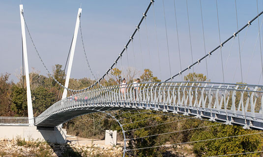
A recently constructed bridge allows you to cross a branch of the river for a second time onto the other side of the Rhône, where you will cycle along a gravel path for part of the route.
Arriving in l’île de l’Oiselay
Once you’ve reached the island, walk along the canal to your right to get back to the car park, where you can drop your bike off. Bring a long padlock as there is no bike rack.
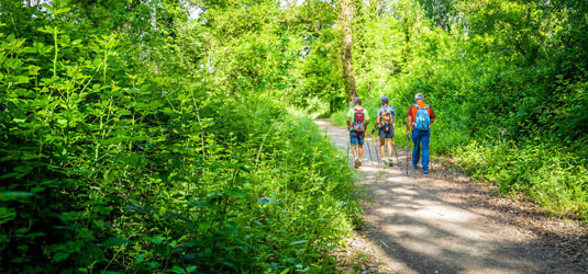
Decide on a distance to run
The second leg of the journey: the run
Choose between 3 distances:
| Route | Distance | Duration (for an average speed of 10km/h or pace of 6 min/km) |
| Fitness Trail | 1.7 km | 10 minutes |
| From Château de l’Oiselay to la Chartreuse | 4.6 km | 30 minutes |
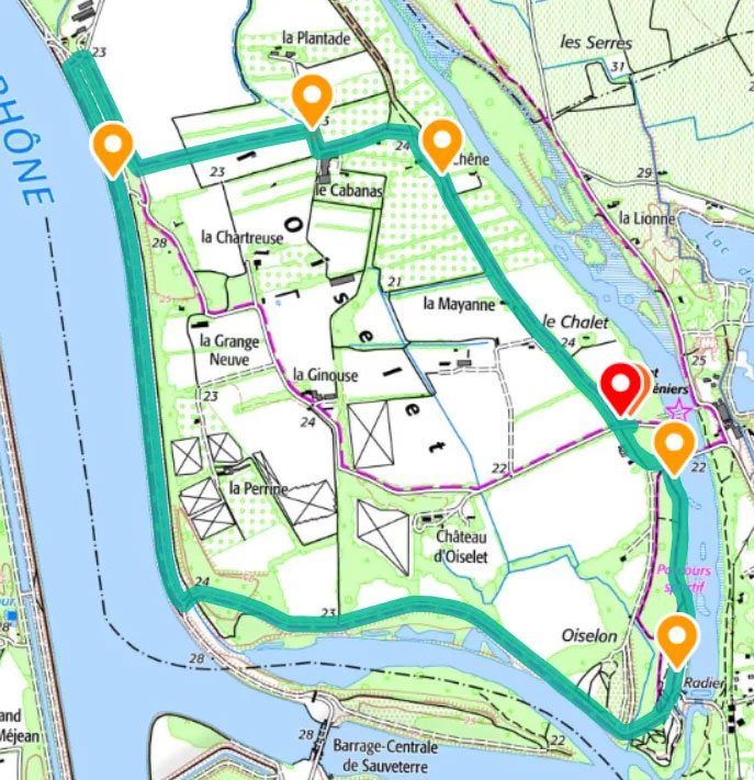
| Tour of l’île de l’Oiselay | 7.5 km | 45 minutes |
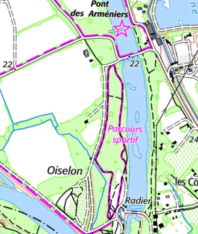
Fitness Trail
If the bike ride has already tired you out, this route is a great option: following a short pathway through the wooded area of l’Oiselay, you will begin the run beneath the shade of the island trees.
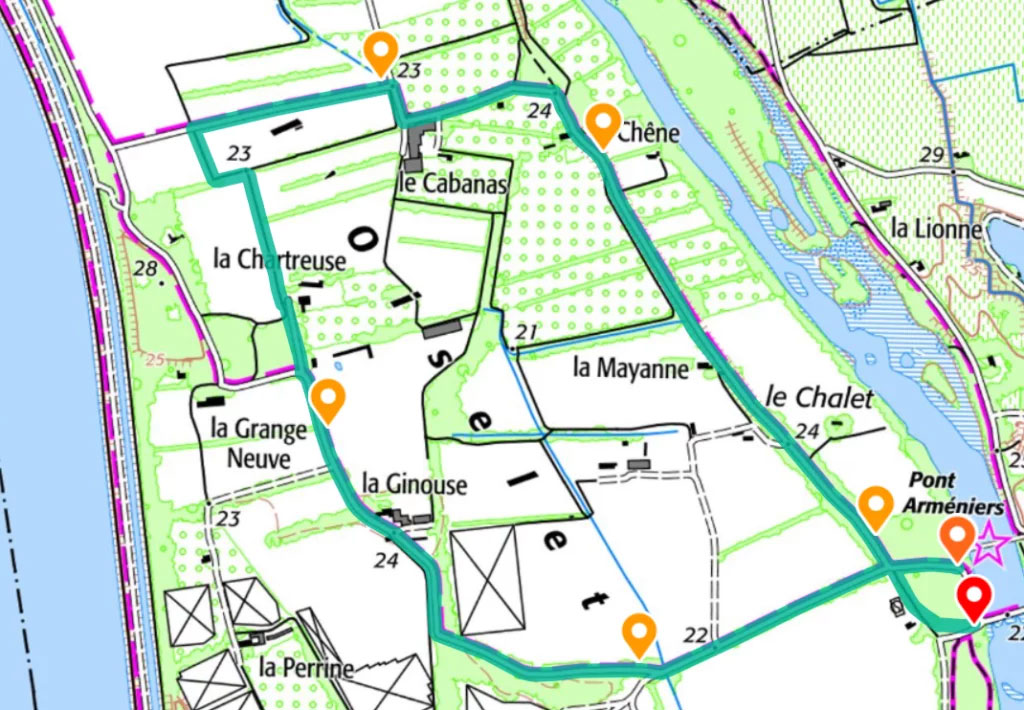
From Château de l’Oiselay to la Chartreuse
A compromise between the fitness trail and the 8 km lap of the island, this route offers an option less than 5 km long, along paths lined with plane trees and the island’s cultivated fields.
Lap of l’île de l’Oiselay
More experienced cyclists can choose to complete a full lap of the island. The route winds its way through farmland and along the Rhône before leading back to a more wooded area. As there is not any shade in the section along the Rhône, this option is not recommended during hot weather.
The way back
After a short rest, it’s time to get back on your bike and head back towards Avignon.
If you need a slightly longer break, a rest on the banks of the lake in the Libertés park, on l’île de la Barthelasse, will give you the time to catch your breath and rehydrate, ready for the last leg of the journey.
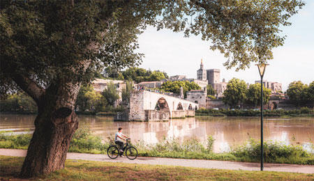
After cycling the 14 km which takes you back to the Cité des Papes, stretching is key – why not make the most of the towpath along the Rhône with a view over Avignon?
Practical info

Useful links:
– Checklist before you set off
– Safety tips for cyclists
– Need a bike? List of Accueil Vélo rental shops in Avignon
Note: the Via Rhôna is partly financed by Vaucluse County Council
